
- Home page
- Top experiences
- Family Time
- Walk in the Peat bogs of Longeyroux
- Family Time
- Top experiences
Walk in the Peat bogs of Longeyroux
On the way to discover a natural site in a unique environment! Free and open access, the Peatlands of Longeyroux have been developed to allow you to understand the faunal and landscape interest of peatlands, these wetlands with the accumulation of plant matter over thousands of years: peat. Take good shoes that resist humidity, a small snack to take a break in these pretty landscapes and on the way to the Peatlands of Longeyroux!
Photos of the article: Corrèze guide
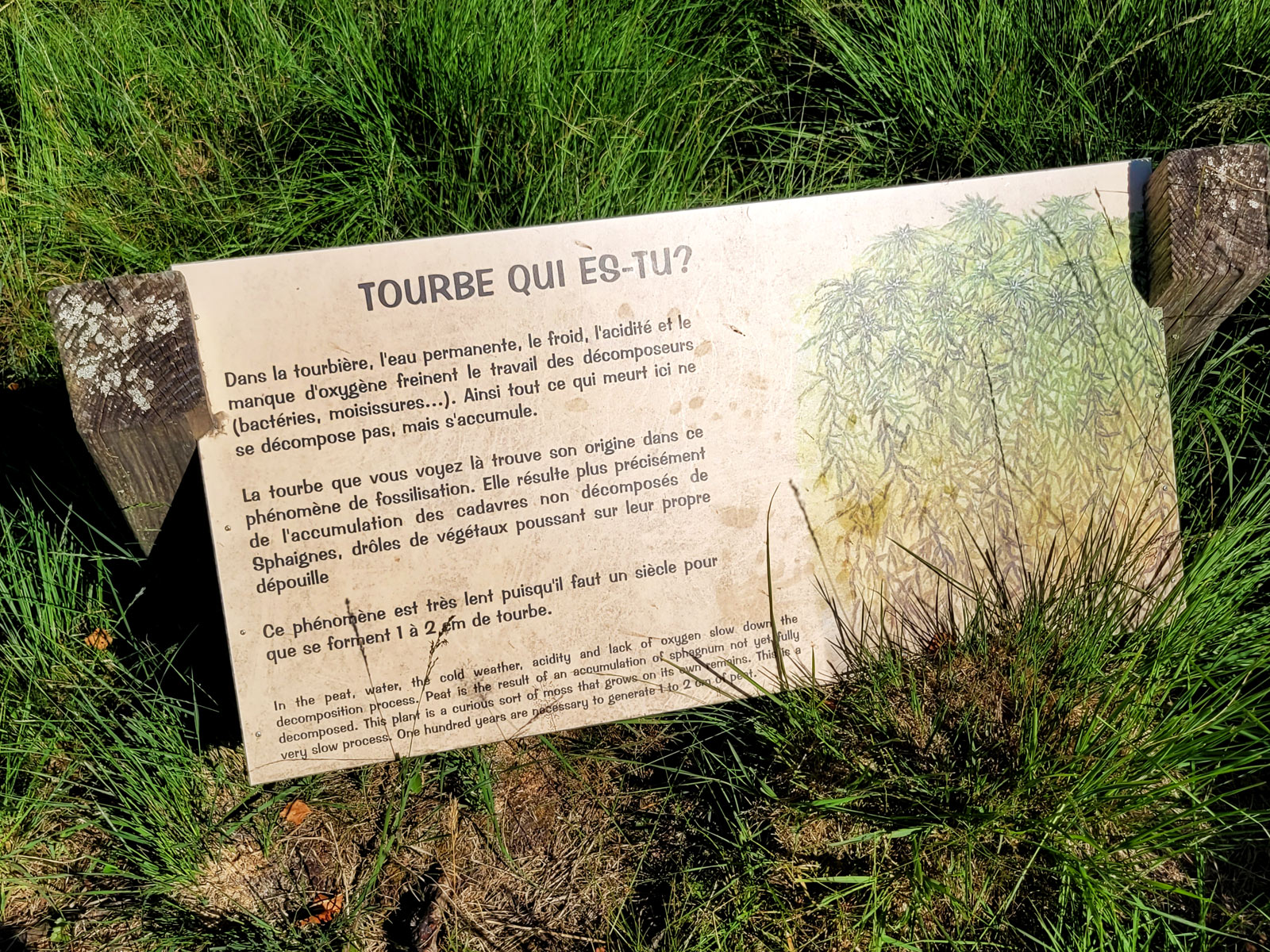
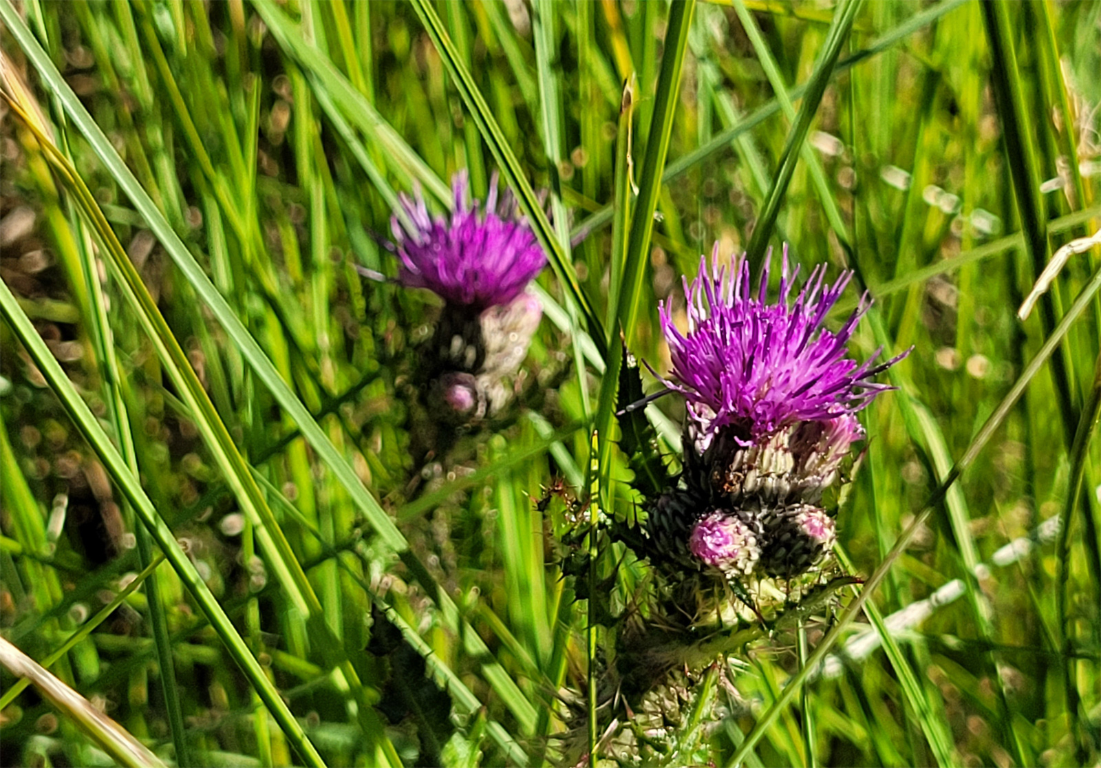
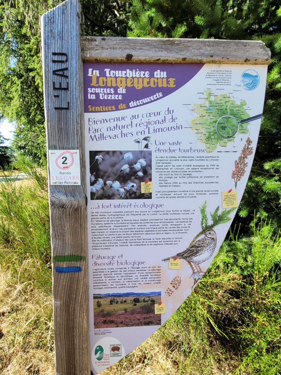
Peat bogs, in a very special humid environment
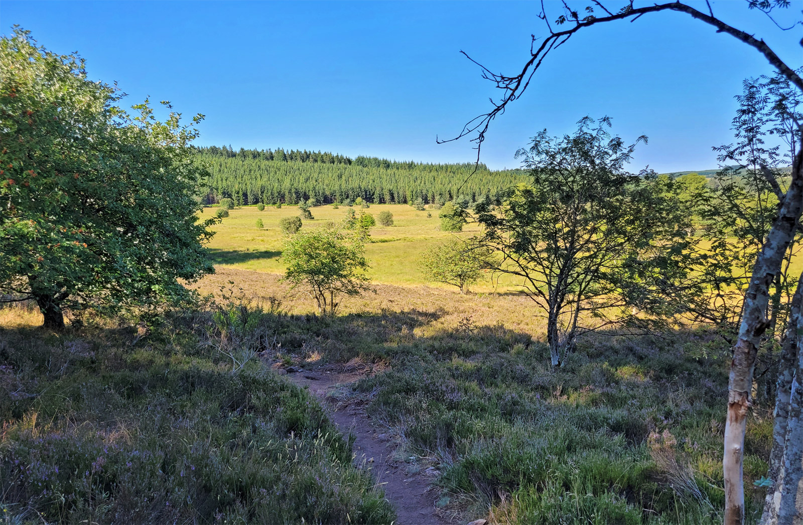
Located in Meymac, in the Regional Natural Park of Plateau de Millevaches, the Peatlands of Longeyroux (which are not the only ones, but the best equipped for tourist discovery) are a unique biological environment located at an altitude of 900 meters. On 250 ha, we are in the birth basin of the Vézère river, dotted with small streams. For 8000 years, plant matter has been accumulating here and not decomposing, partly due to the altitude but also to the humidity generated by the small streams, as well as the characteristic of the rock which is granitic here. and more impermeable than elsewhere. It is an acid environment, not very conducive to the usual decomposition of the materials which are deposited there and which therefore settle in strata, in more or less dense and constantly bathed layers. It is then at the rate of 2cm per century (!!) that the bog is formed and over thousands of years, we obtain a thick, consistent, black layer almost like coal. Moreover, peat is an excellent fuel, used by those who live near peat bogs instead of coal!
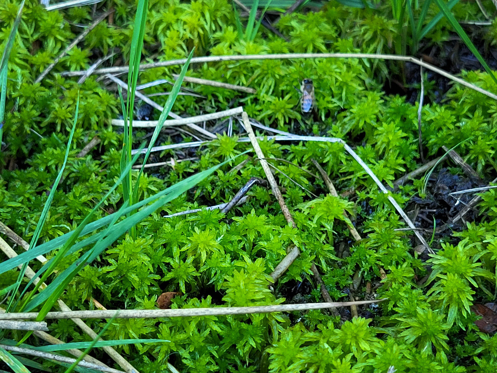
This accumulation is also, for connoisseurs and specialists, a formidable plant memory! Today, particular plant and animal species populate this natural environment. It's like a gigantic sponge, a breeding ground for small fauna, reptiles and insects.
2 trails for walking in the Peatlands of Longeyroux
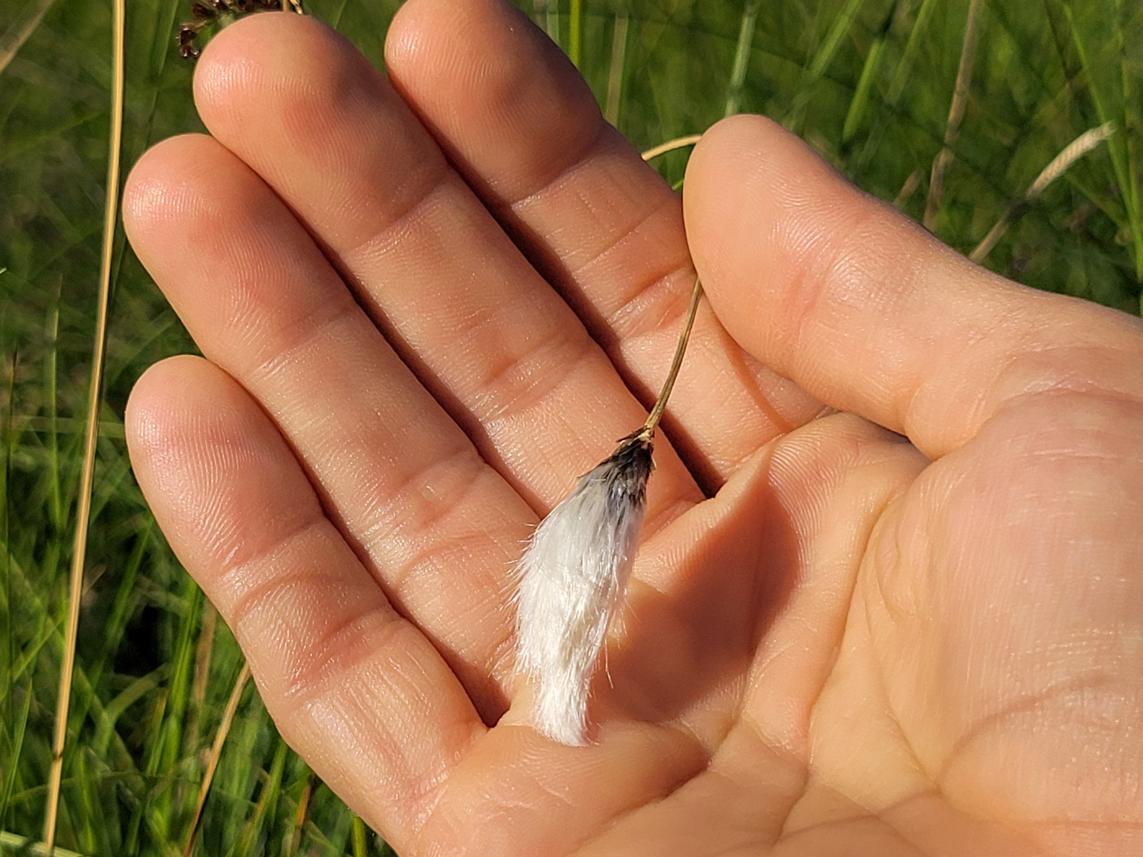
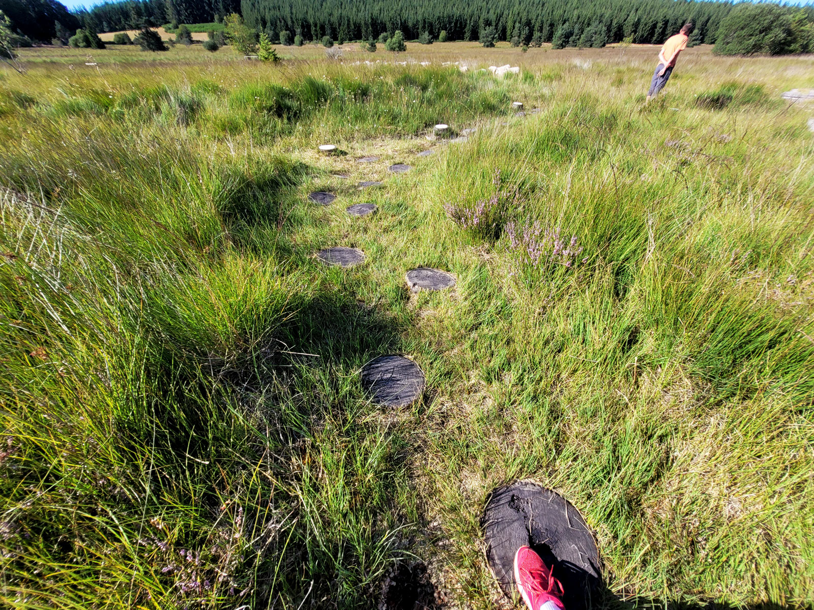
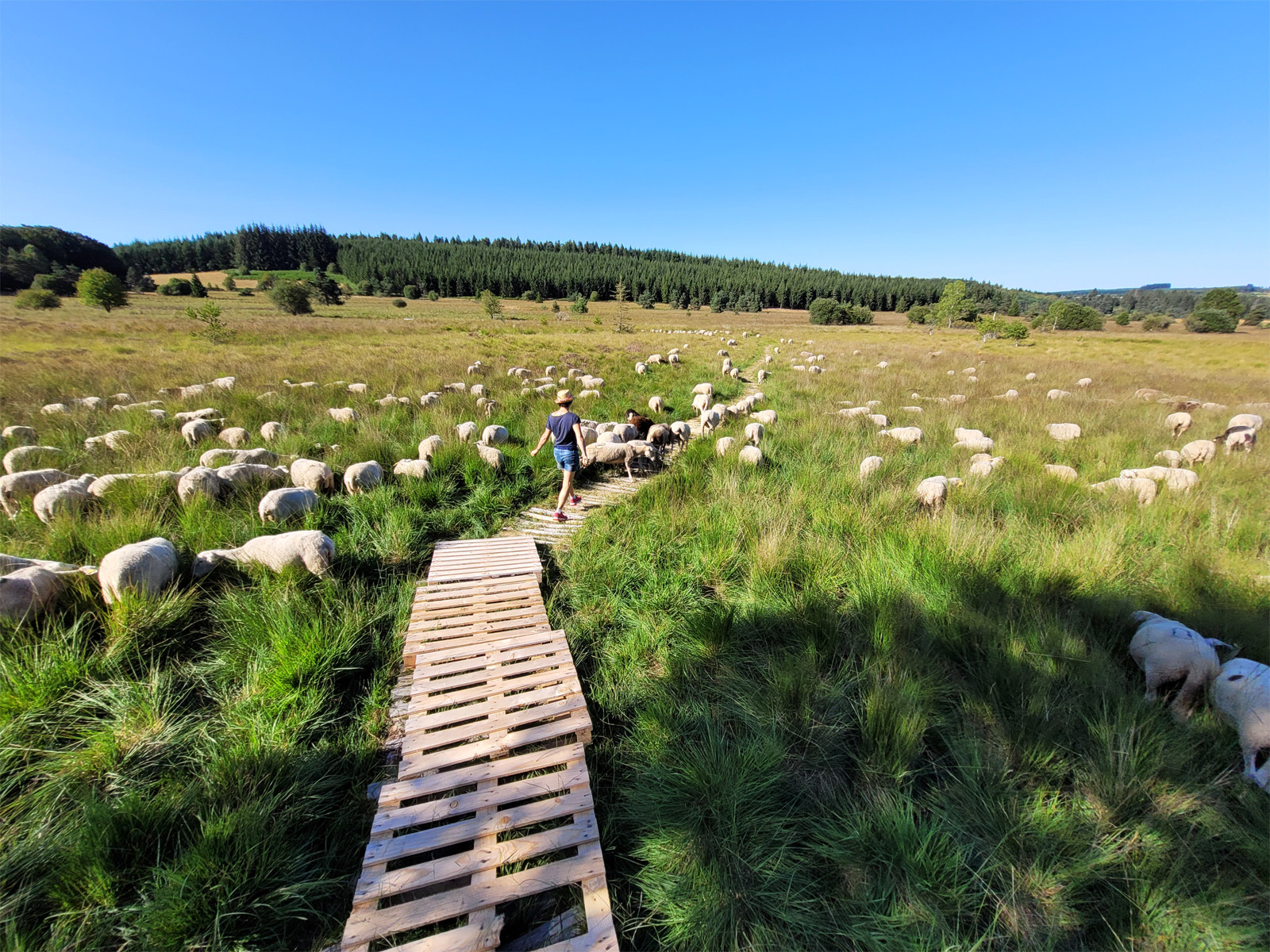
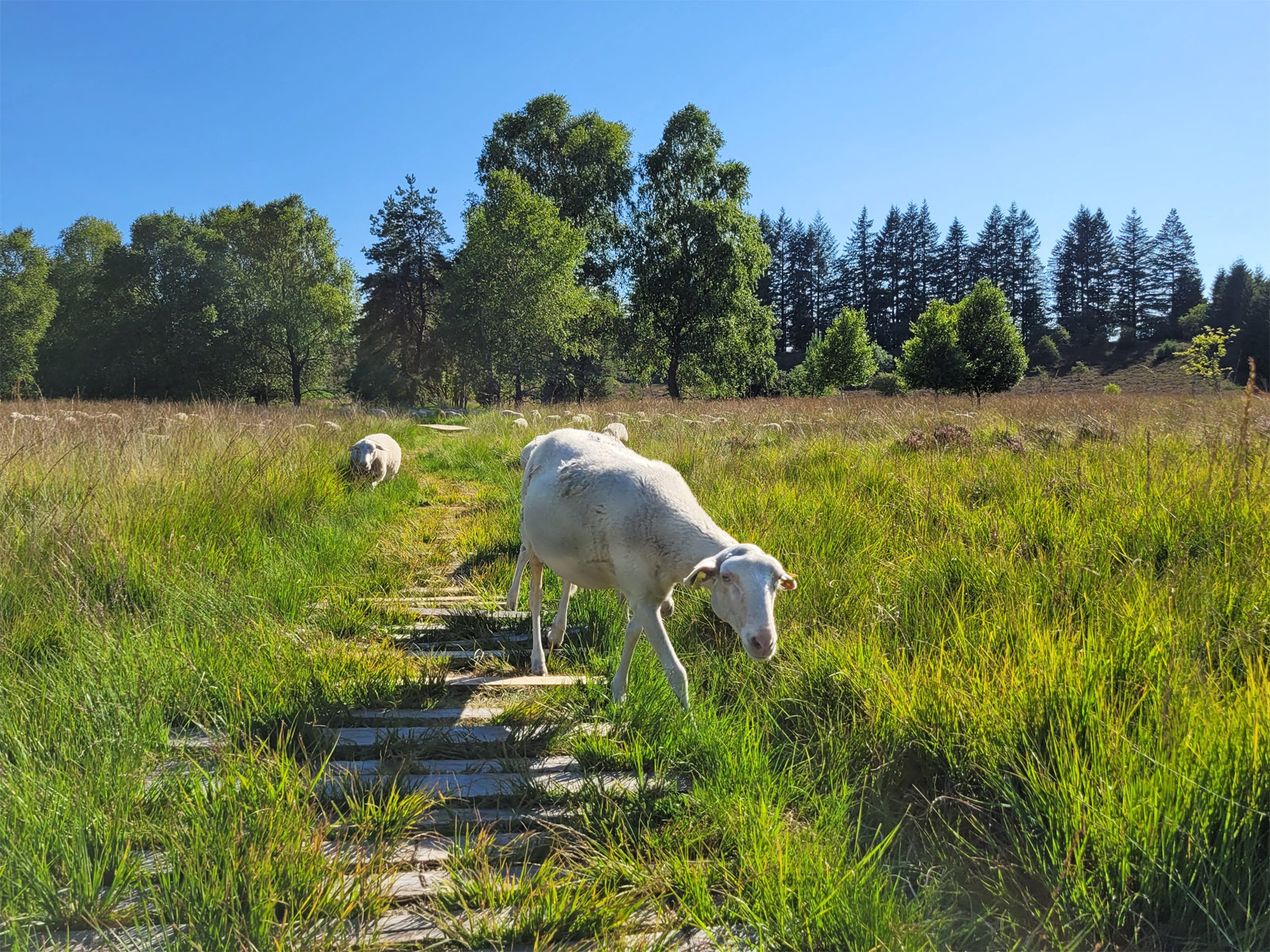
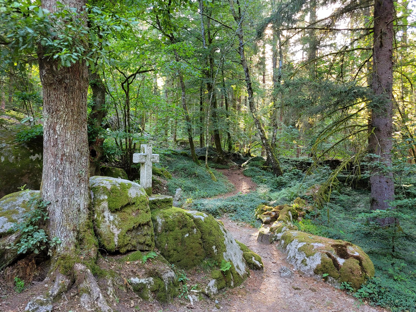
2 trails are laid out, with interpretive panels and the opportunity to make pleasant, instructive loops in a beautiful environment. The Sentier des Linaigrettes is a 1km loop, perfect for children. We walk on a path of wooden duckboards, which winds through the bog with signs everywhere to make you lower your eyes, observe the flora, understand the species present and their particularities. It's flop flop when you walk, because sphagnum, these plant species similar to sponges, release their water as you pass. Sheep also populate the bogs according to the seasons, we passed in the middle of a not very shy and amusing herd.
The heather trail runs for 9 km. It will take you deeper into the landscape, to meet the beginnings of the Vézère, on this plateau to the Site des Cent Pierres, a pile of rocky blocks as if laid in peat bogs.
In July and August, guided tours are available, to be booked at the tourist offices in the region, such as in Meymac.
Things to do around the Longeyroux peat bogs
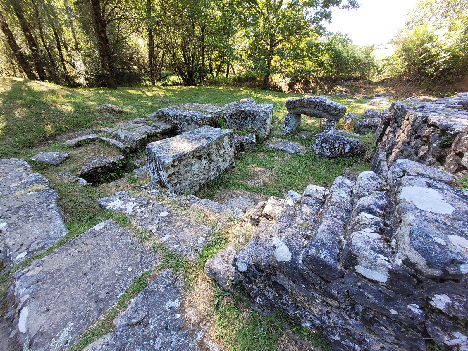
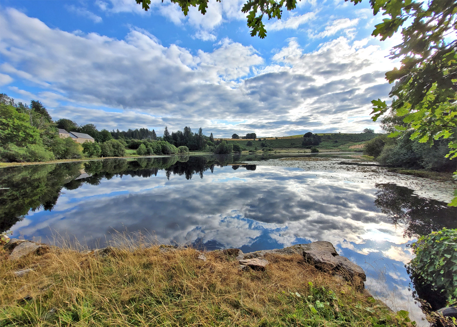
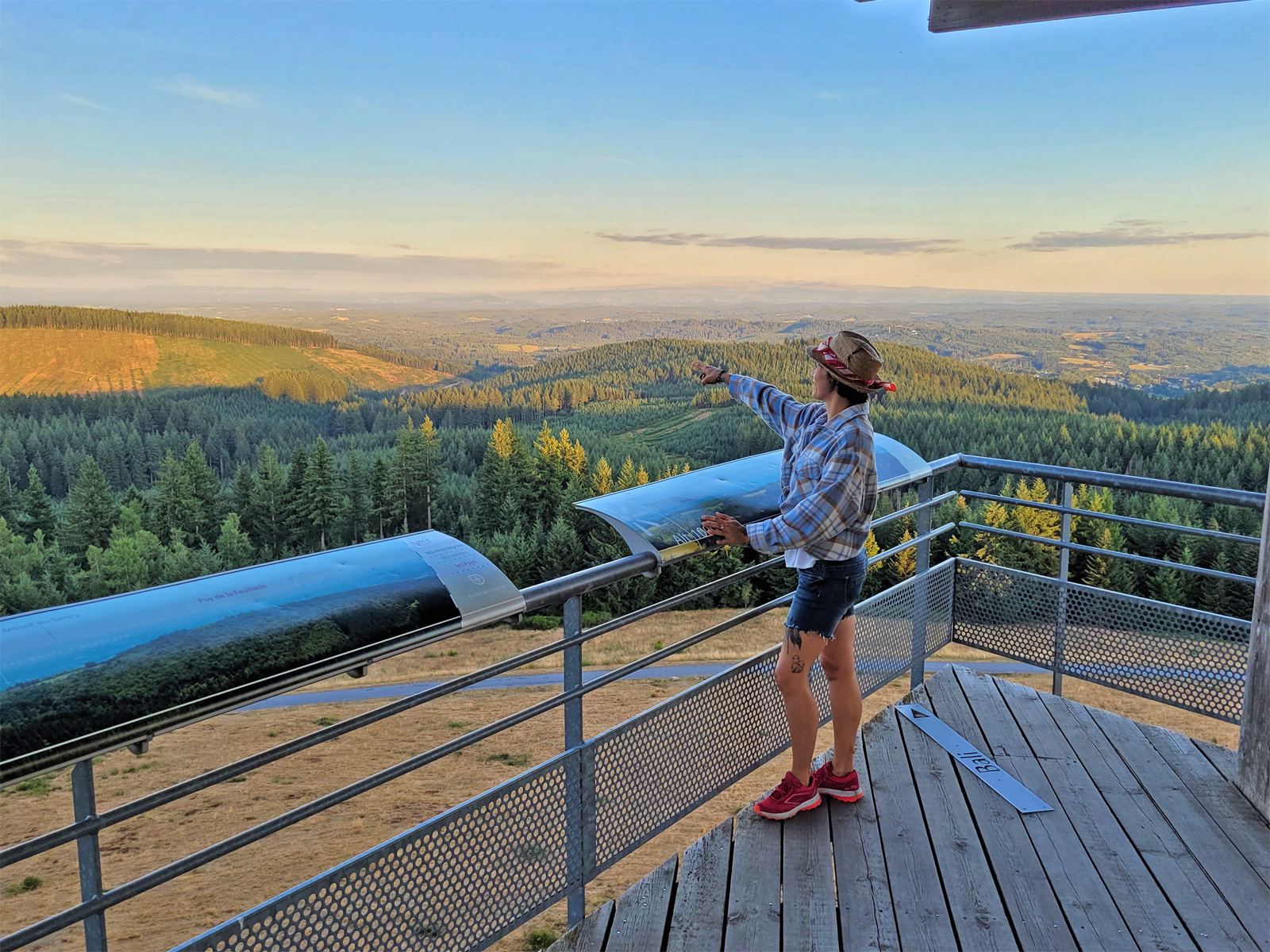
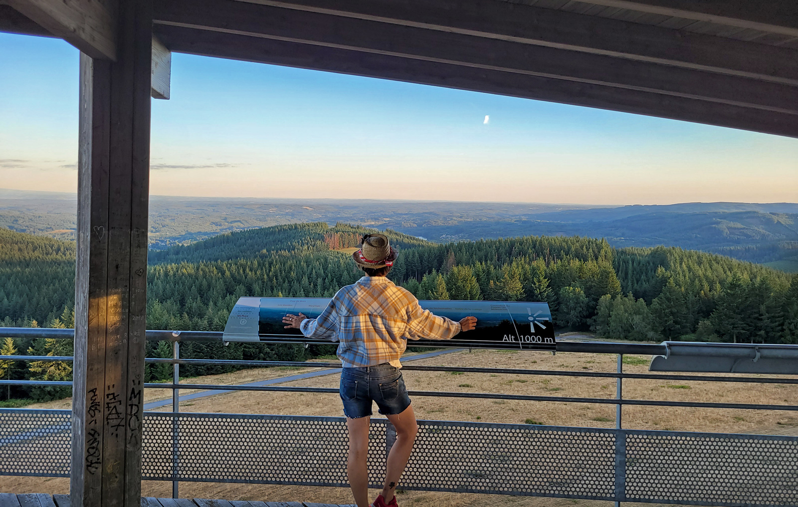
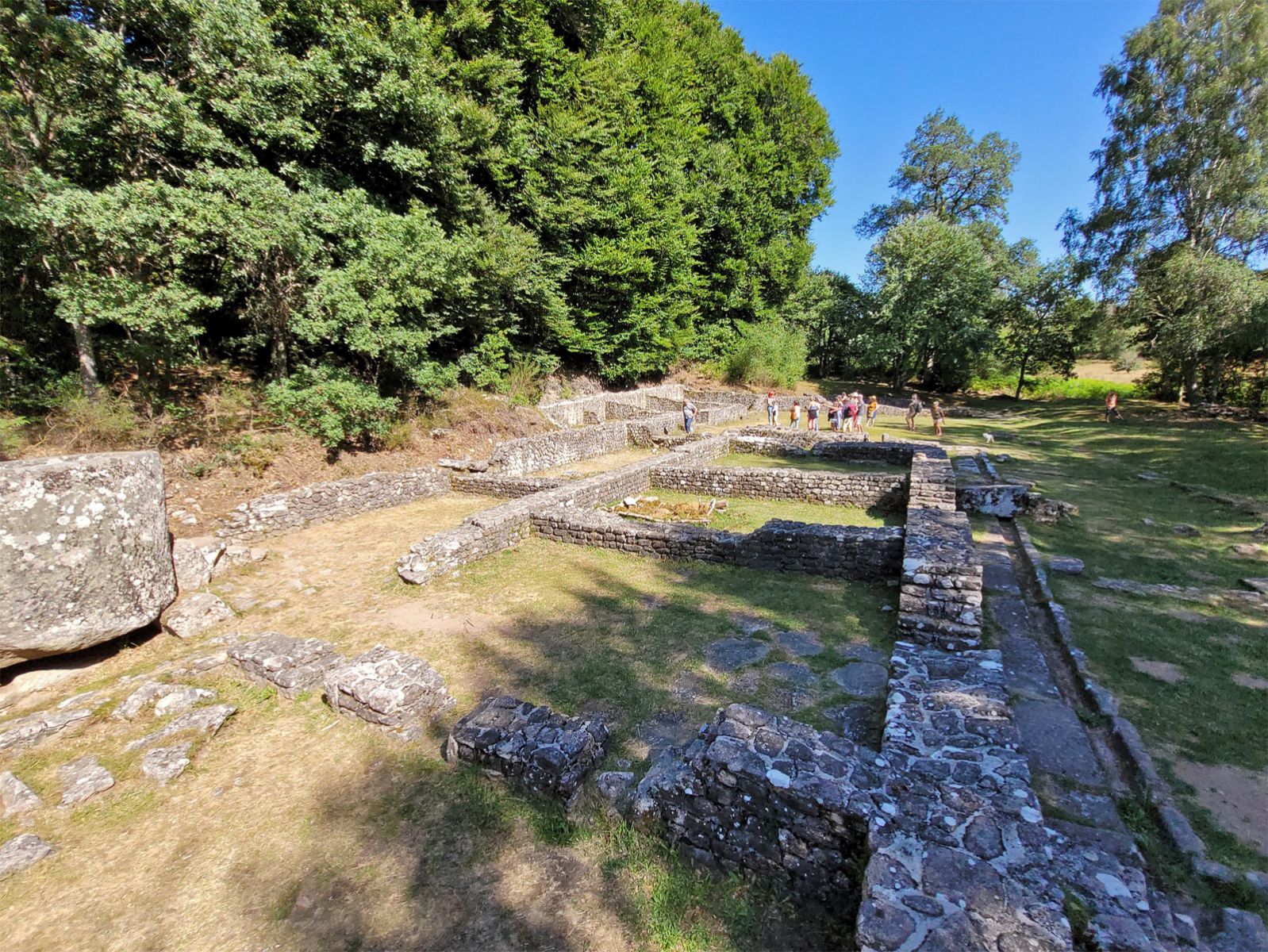
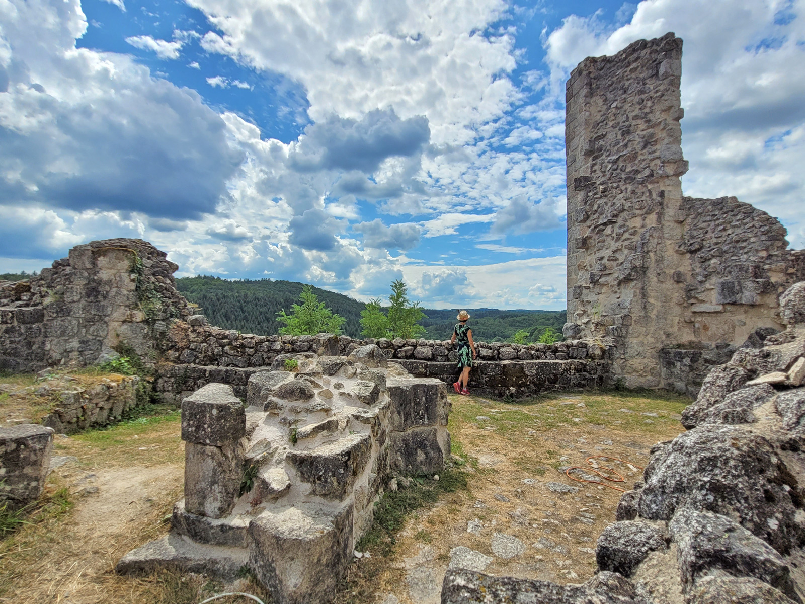
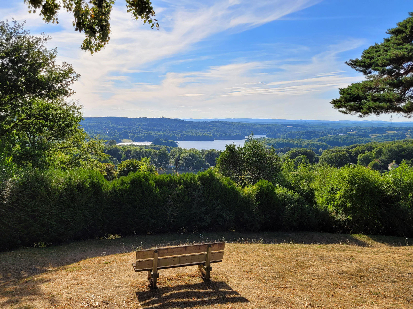
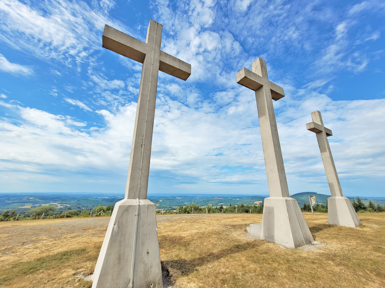
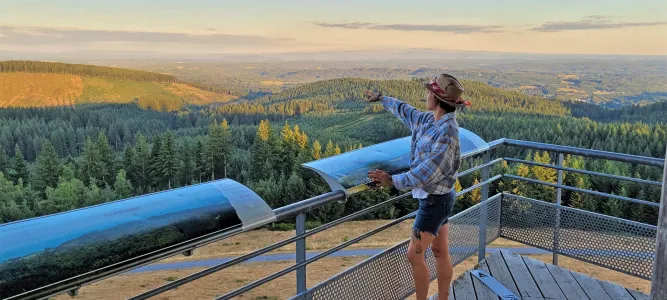
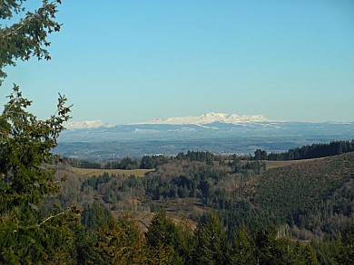
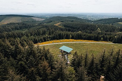
Continue your exploration of the region by discovering the Gallo-Roman site of Les Cars, which is less than 4km away. A place to discover the Gallo-Roman remains nestled in the forest. The village of Saint-Merd-les-Oussines also welcomes you for hikes and in particular around the Oussines pond, a somewhat magical place at the foot of the Vézère. Finally, we recommend that, on a nice clear day, you go to the very top of Mont Bessou and climb the panoramic tower, to enjoy a magical view of the surrounding forests and especially the Monts d'Auvergne and the Cantal which seem so close from up there!
Did you enjoy this article? Find more on the Blog of the Corrèze Guide and organize your stay thanks to our Facebook page of the Corrèze Guide, we are also on Instagram Guide de la Corrèze.
You will also like
Mont Bessou and its tower: the highest peak in Corrèze!
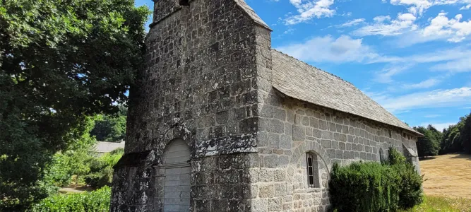
Visit to the Gallo-Roman site of Cars
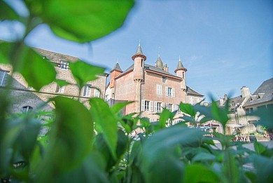
Visit Ussel, the city of the Ventadour
12,8 km
The mysterious abandoned village of Clédat
18,0 km
The Château de Ventadour, at the heart of the history of the Viscounts of Corrèze
19,7 km
Visit Neuvic, an ancient fortified city
22,4 km
What to do in autumn in Corrèze
22,4 km
Visit Sarran and the President Jacques Chirac Museum!
22,7 km
You will like also


Ride around
VTT - Gravel - Le chemin des chapelles - 25 km - circuit 9
VTT - Gravel - Le chemin des chapelles - 25 km - circuit 9
2,2 km - Meymac
VTT - Ô Taphaleschas ! - 40 km - Circuit 10
VTT - Ô Taphaleschas ! - 40 km - Circuit 10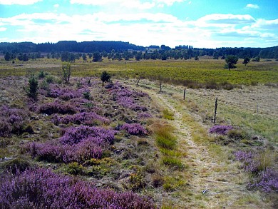
2,2 km - Meymac