Le Guide de la Corrèze
Discover our other guides

You will like also

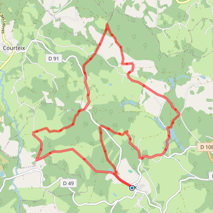
Click here to activate the interactive map
You will also like
We tested for you
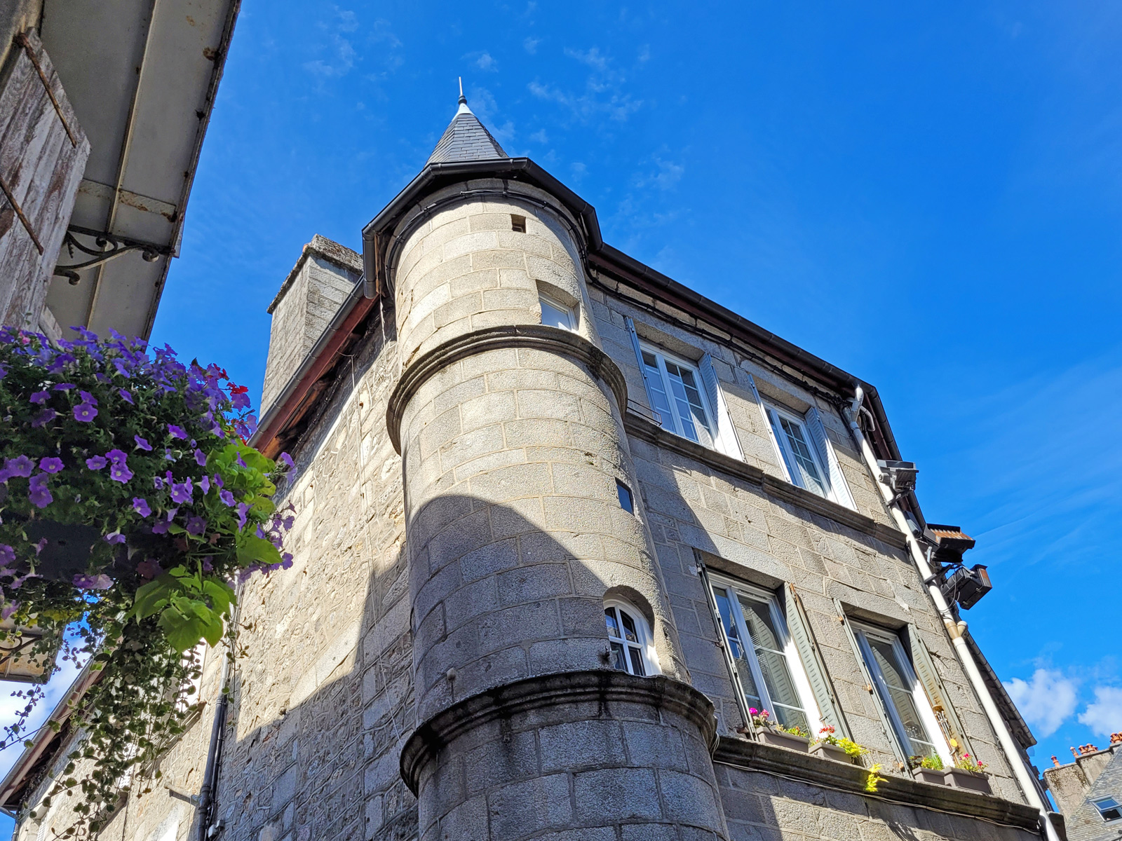
Visit Ussel, the city of the Ventadour
9,5 km
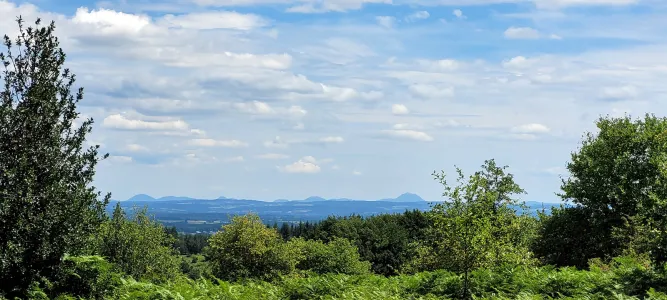
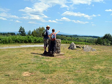
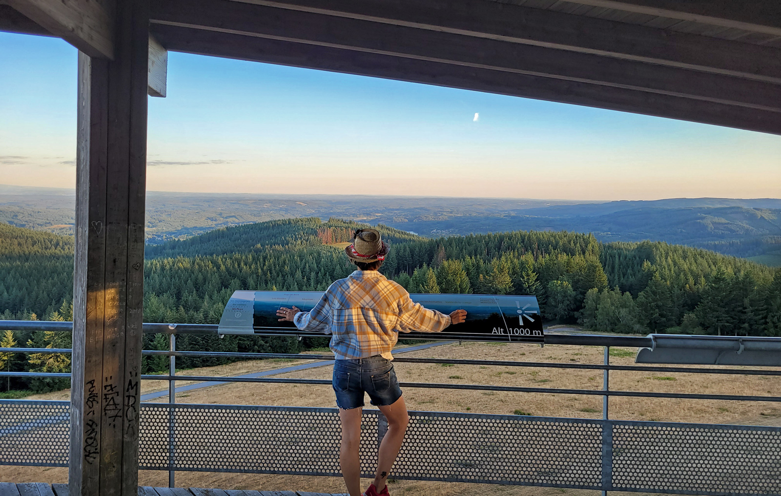
Mont Bessou and its tower: the highest peak in Corrèze!
20,1 km
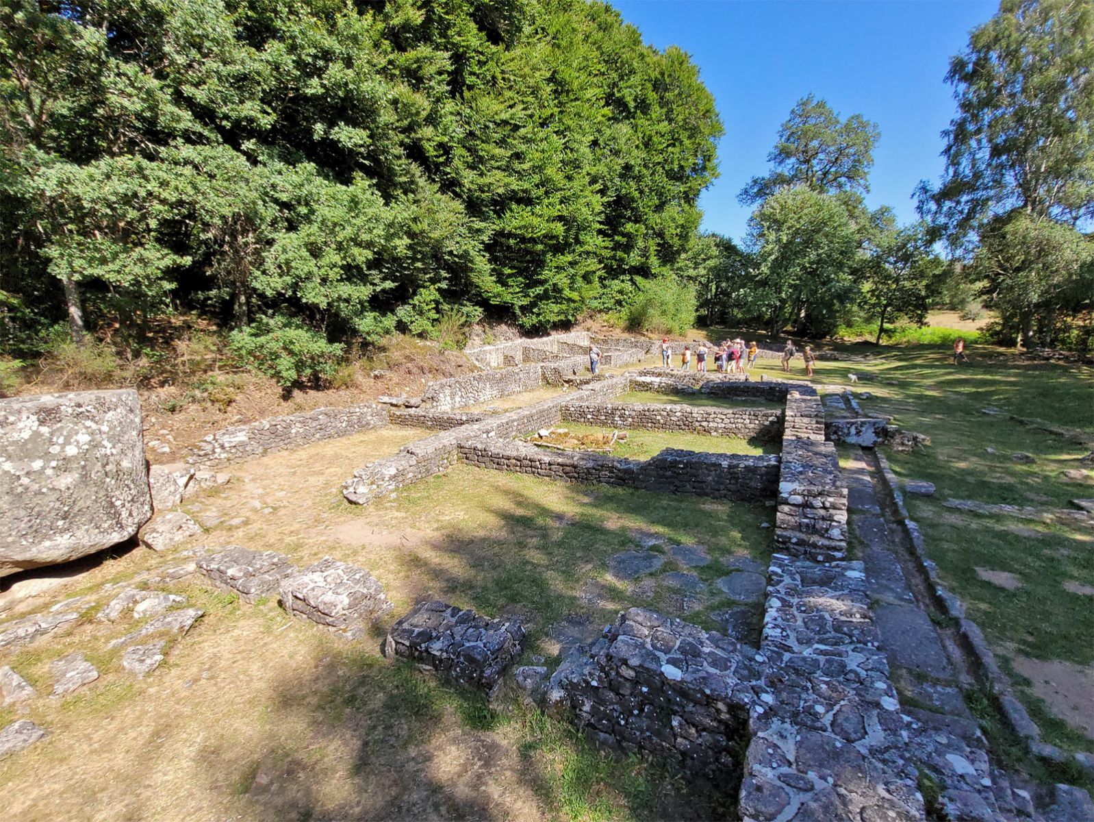
Visit to the Gallo-Roman site of Cars
20,1 km
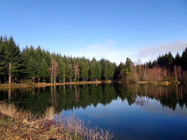
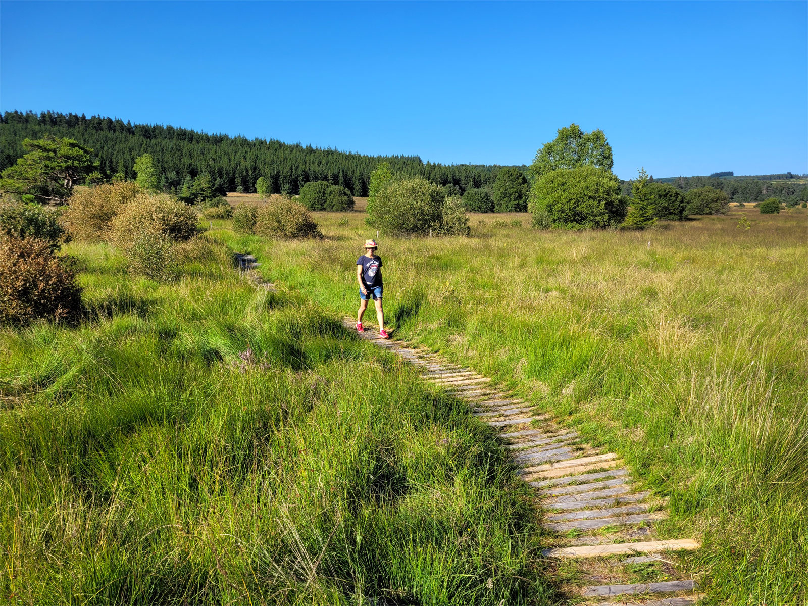
Walk in the Peat bogs of Longeyroux
20,1 km
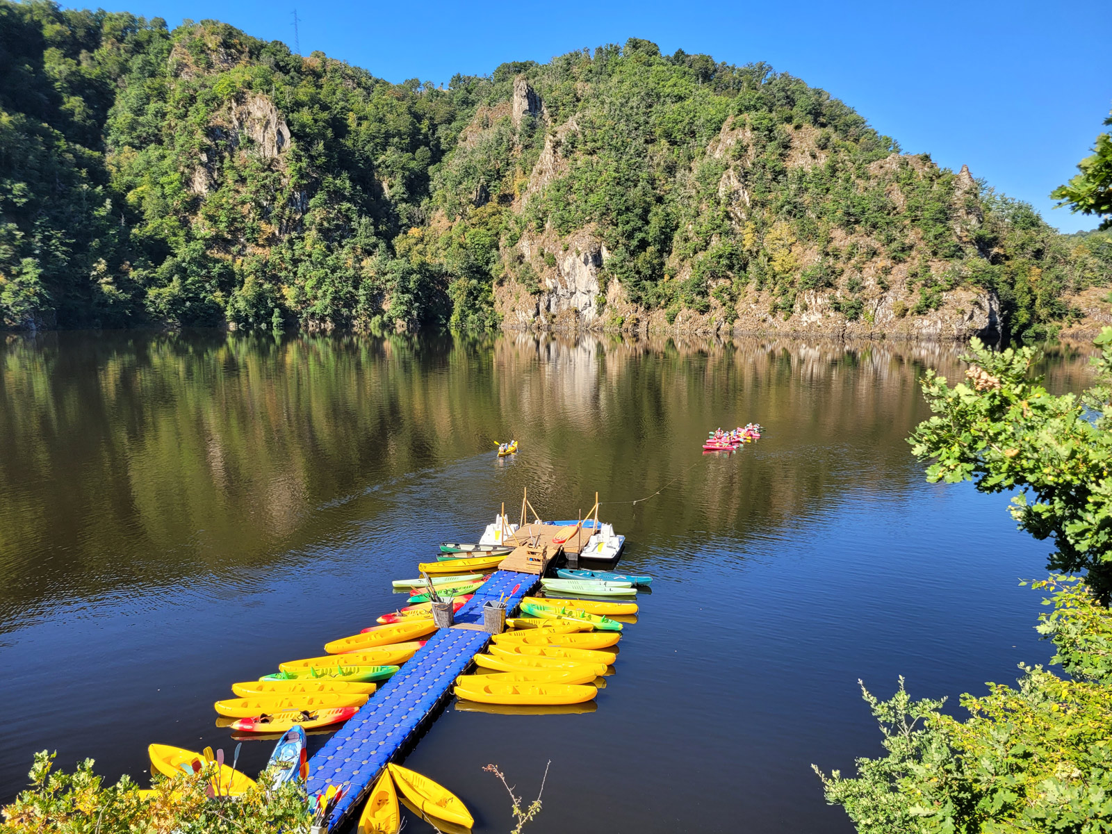
Canoe trip in the gorges of the Upper Dordogne
20,9 km
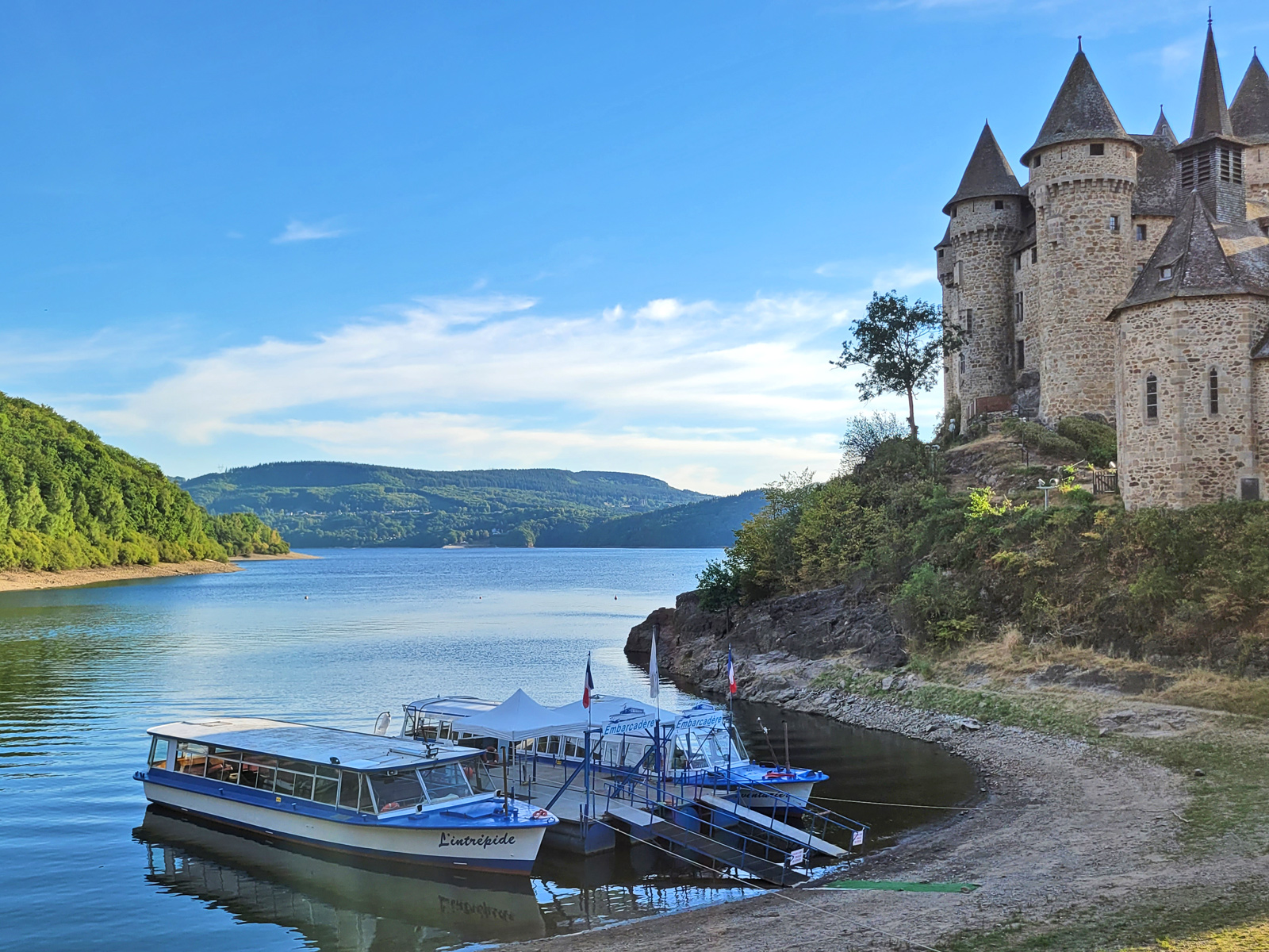
Val Castle: A place for leisure and relaxation!
26,2 km
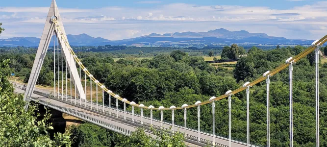
Bort les Orgues: a village, a dam and above all, its organs!
26,2 km
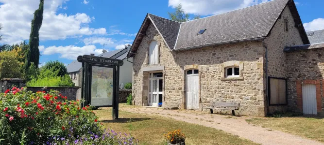
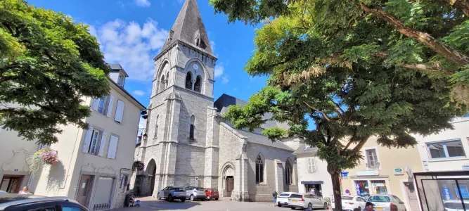
Visit Neuvic, an ancient fortified city
28,9 km