Le Guide de la Corrèze
Discover our other guides

- Home page
- Tourism
- Discover
- Hiking itineraries in Corrèze
- Millevaches
- De la Diège à la Vienne
- Millevaches
- Hiking itineraries in Corrèze
- Discover
- Tourism
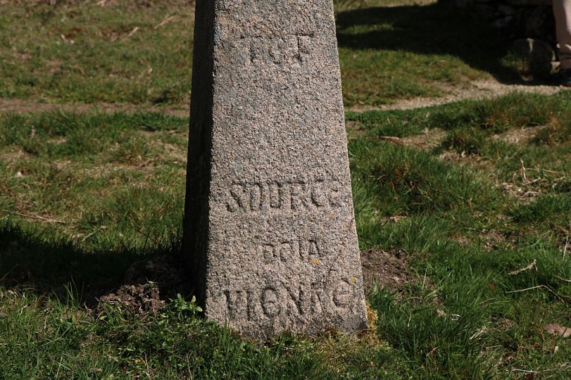
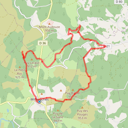
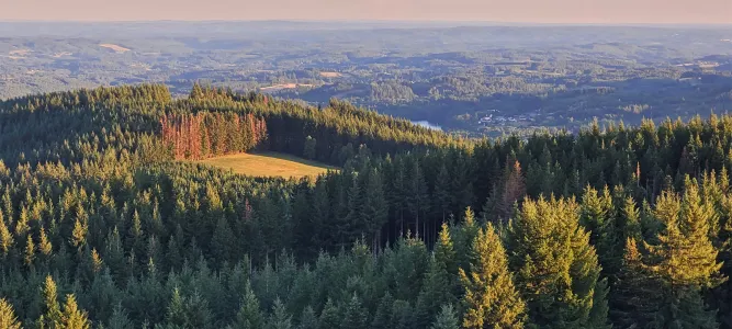
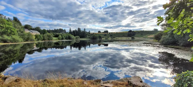
De la Diège à la Vienne
You will like also

Click here to activate the interactive map
You will also like
Sentier de Millevaches aux Oussines - 13 km
Sentier de Millevaches aux Oussines - 13 km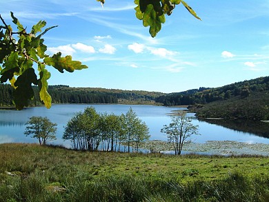
169 m - Millevaches
Sentier d'interprétation des sources de la Vienne - 4 km
Sentier d'interprétation des sources de la Vienne - 4 km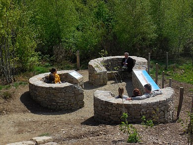
3,0 km - Millevaches
Circuit vélo loisir Au cœur du plateau de Millevaches
Circuit vélo loisir Au cœur du plateau de Millevaches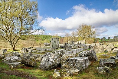
3,9 km - Saint-Merd-les-Oussines
We tested for you
Mont Bessou and its tower: the highest peak in Corrèze!
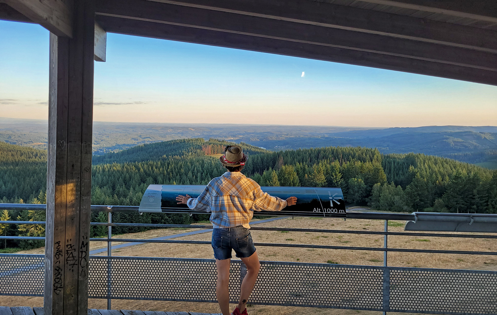
10,3 km
Visit to the Gallo-Roman site of Cars
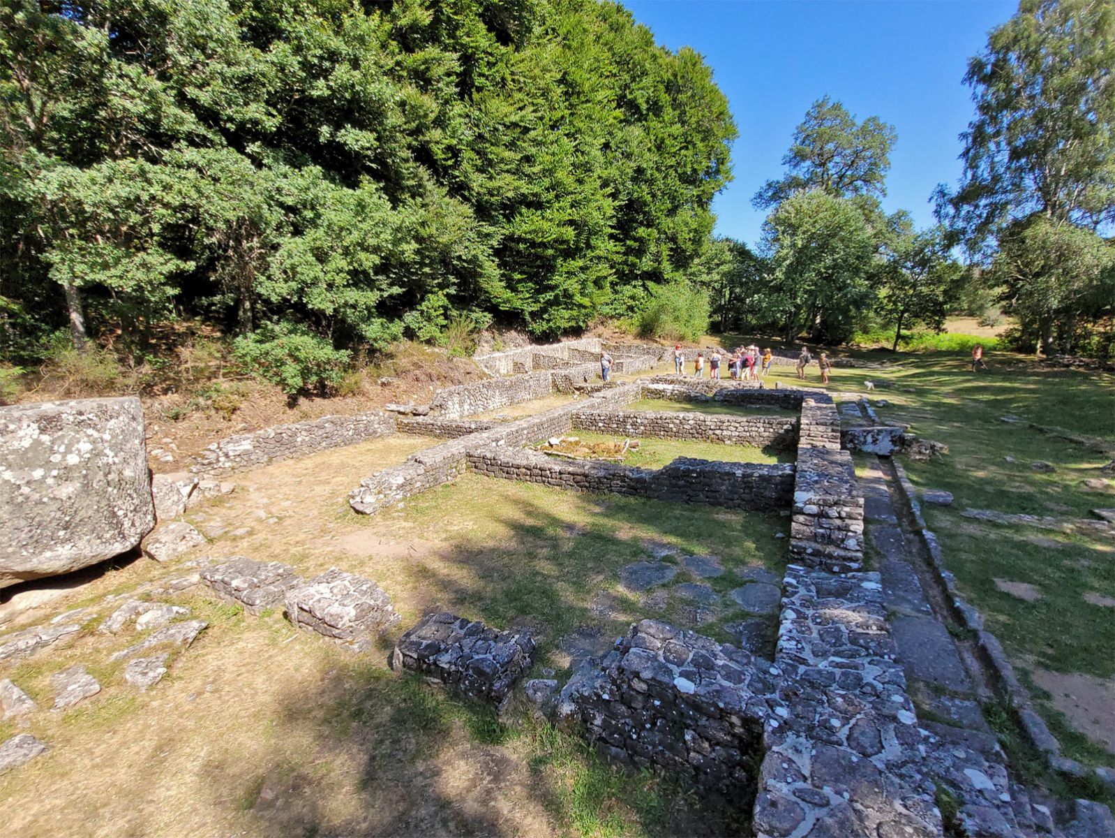
10,3 km
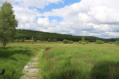
Walk in the Peat bogs of Longeyroux
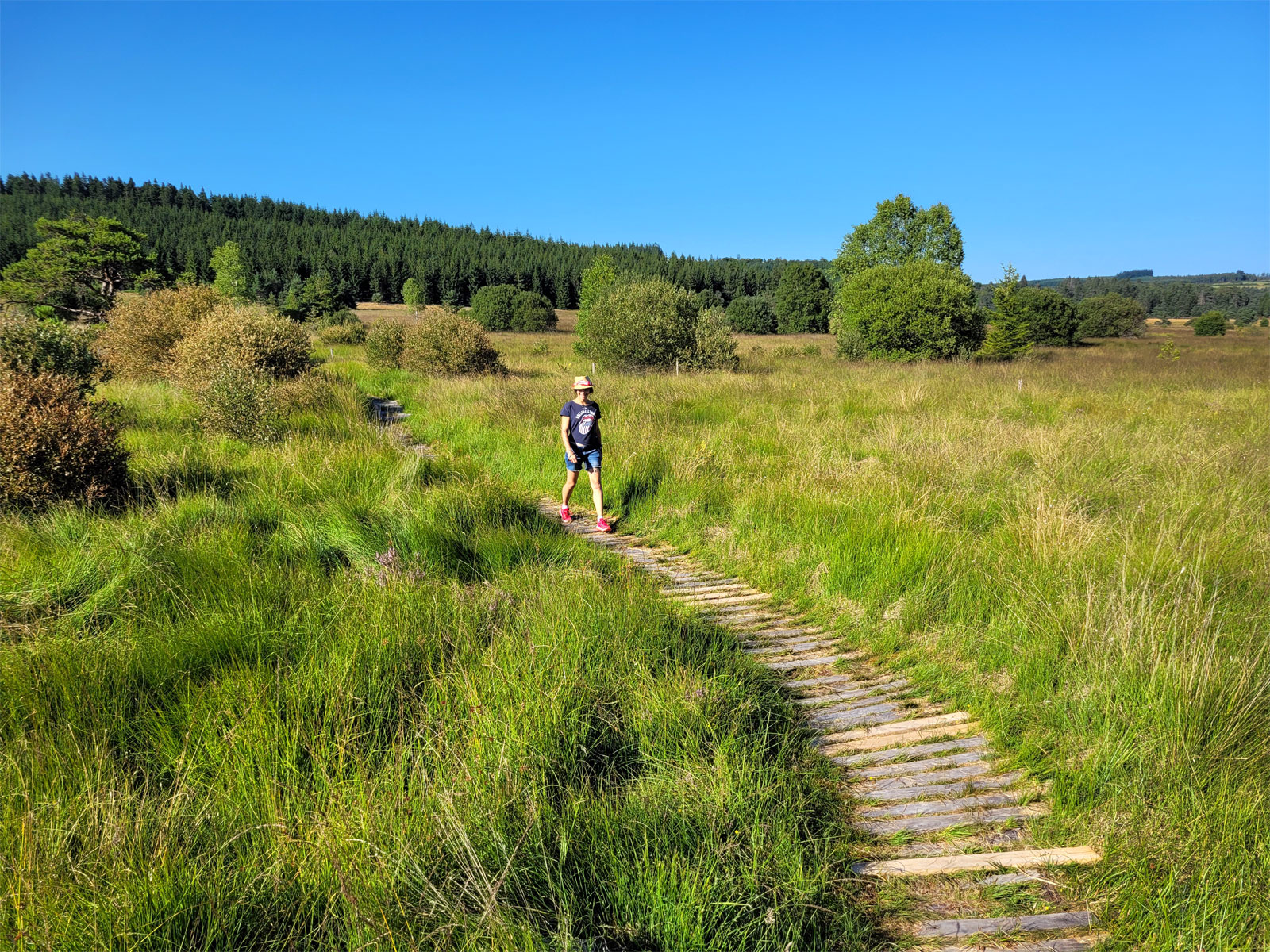
10,3 km
Visit Ussel, the city of the Ventadour
19,2 km
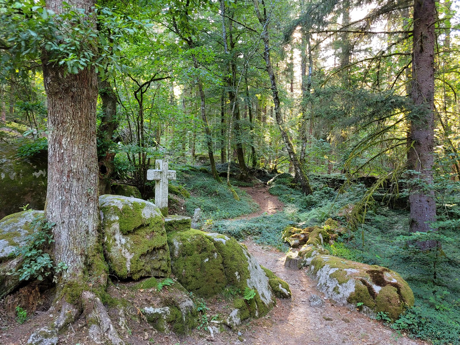
The mysterious abandoned village of Clédat
21,3 km
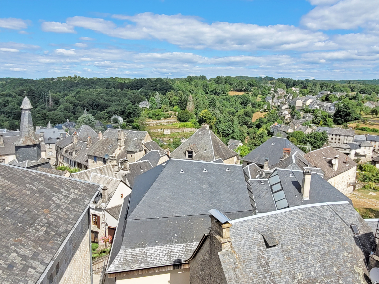
Visit to the village of Treignac
24,9 km
Visit Sarran and the President Jacques Chirac Museum!
28,5 km
The Château de Ventadour, at the heart of the history of the Viscounts of Corrèze
29,1 km