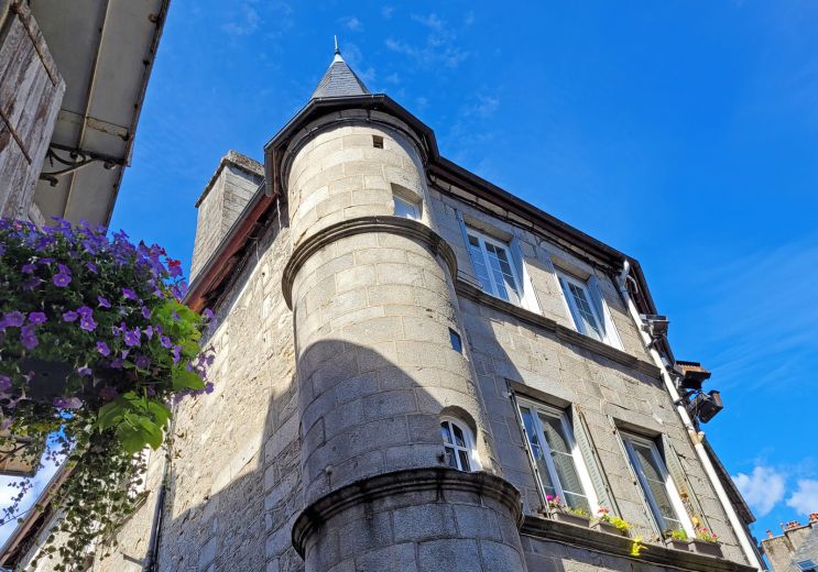
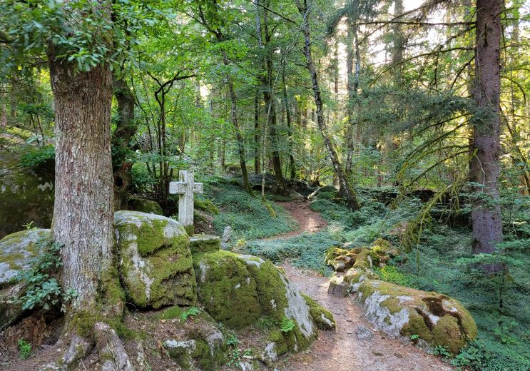
Sentier d'interprétation des sources de la Vienne - 4 km

Millevaches
  • Starting point : Millevaches
  • Total distance : 3,7 km
  • Walking : 1 h. 30 min. Easy

Start : Millevaches, D36, at the crossroads towards Peyrelevade on the D21
Markup :Stones with the legend of the 3 sources

Discover the sources of the Vienne, the watershed and the otter basin. (...)

Access the details of this itinerary on Cirkwi.com

Last update : 29/05/2025 à 03:04:57

Source : Cirkwi | Office de Tourisme de Haute-Corrèze
Photo credit : @Cirkwi - Office de Tourisme de Haute-Corrèze

You will like also

Millevaches Regional Nature Park in Limousin

Millevaches Regional Nature Park in Limousin

The Regional Natural Park of Millevaches would take its name from its location in height and the very many small ...

2,8 km - Millevaches
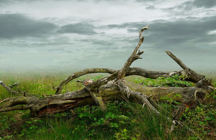
Straightened trees

Straightened trees
Straightened trees

In the town of Saint-Setiers, in the heart of the Regional Natural Park of the Plateau de Millevaches, "Les Arbres ...

3,5 km - Saint-Setiers

Saint-Setiers Arboretum Park

Saint-Setiers Arboretum Park

The Saint-Setiers Arboretum Park is part of the Millevaches Plateau Regional Nature Park, near Peyrelevade. It ...

3,9 km - Saint-Setiers
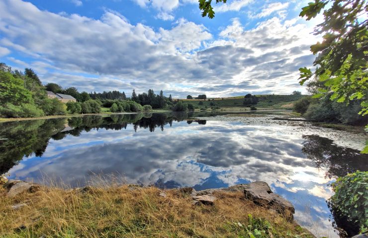
Etang des Oussines

Etang des Oussines
Etang des Oussines

The Etang des Oussines is located in the Upper Vézère Valley, in the Regional Nature Reserve of the Upper Vézère ...

4,3 km - Saint-Merd-les-Oussines
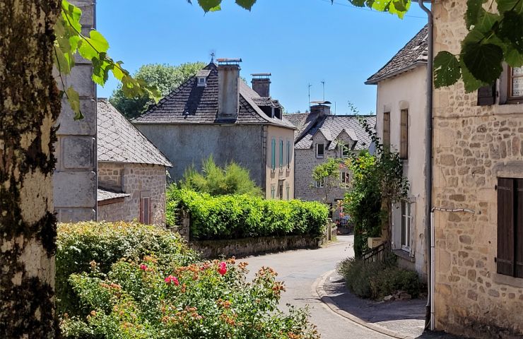
Saint-Merd-les-Oussines

Saint-Merd-les-Oussines

Located in the heart of the Plateau de Millevaches, in Corrèze, Saint-Merd-les-Oussines is a rural commune where ...

6,0 km - Saint-Merd-les-Oussines

You will also like

De la Diège à la Vienne

De la Diège à la Vienne

3,0 km - Millevaches

Walking

VTT - Gravel - Le Plateau de Millevaches - 53 km - circuit 44

VTT - Gravel - Le Plateau de Millevaches - 53 km - circuit 44
VTT - Gravel - Le Plateau de Millevaches - 53  ...

3,4 km - Saint-Setiers

Mountain bike

VTT - Gravel - Piste rouge - 11 km - circuit 47

VTT - Gravel - Piste rouge - 11 km - circuit 47

3,5 km - Saint-Setiers

Mountain bike

VTT - Gravel - Piste jaune - 4 km - circuit 45

VTT - Gravel - Piste jaune - 4 km - circuit 45

3,5 km - Saint-Setiers

Mountain bike

VTT - Gravel - Piste verte - 7 km - circuit 46

VTT - Gravel - Piste verte - 7 km - circuit 46

3,5 km - Saint-Setiers

Mountain bike

We tested for you

Visit to the Gallo-Roman site of Cars

Visit to the Gallo-Roman site of Cars

13,1 km - Meymac

Walk in the Peat bogs of Longeyroux

Walk in the Peat bogs of Longeyroux

13,1 km - Meymac

Visit Ussel, the city of the Ventadour

Visit Ussel, the city of the Ventadour

20,9 km - Ussel

The mysterious abandoned village of Clédat

The mysterious abandoned village of Clédat

23,8 km - Grandsaigne

Visit to the village of Treignac

Visit to the village of Treignac

26,3 km - Treignac