Le Guide de la Corrèze
Discover our other guides

- Home page
- Tourism
- Discover
- Hiking itineraries in Corrèze
- Saint-Jal
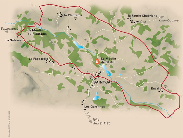
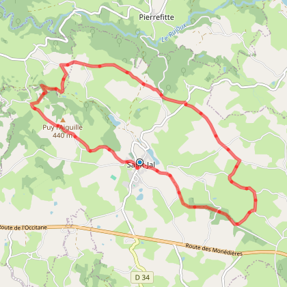
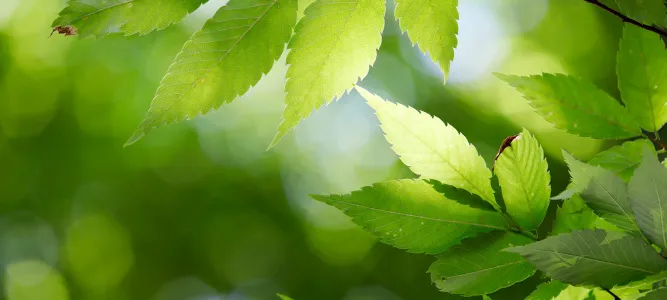
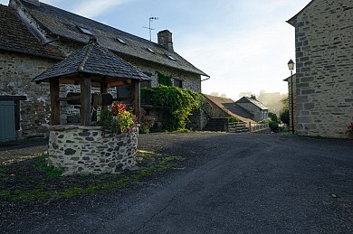
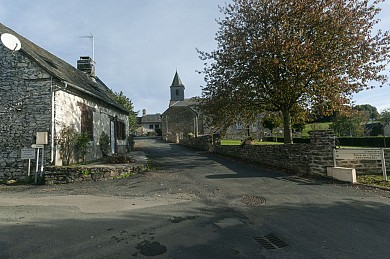
- A travers feuillus et crêtes
- Saint-Jal
- Hiking itineraries in Corrèze
- Discover
- Tourism
A travers feuillus et crêtes
You will like also

Click here to activate the interactive map

You will also like
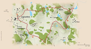
Les amoureux de la Forêt de Blanchefort
Les amoureux de la Forêt de Blanchefort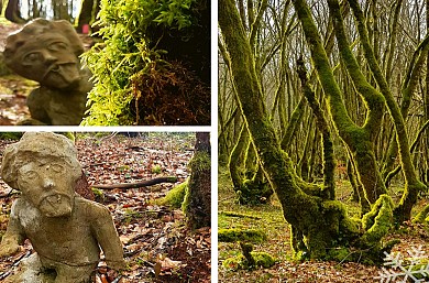
5,1 km - Lagraulière
We tested for you
Visit Uzerche, a historic town on the banks of the Vézère!
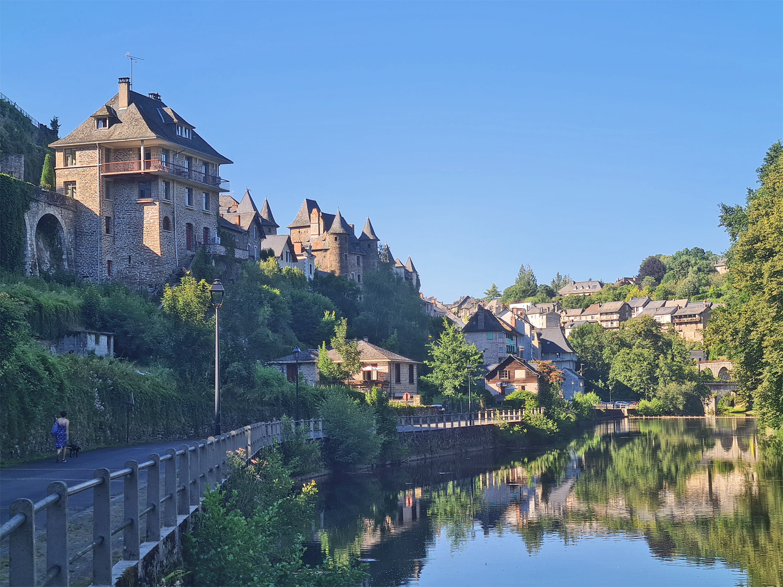
6,8 km
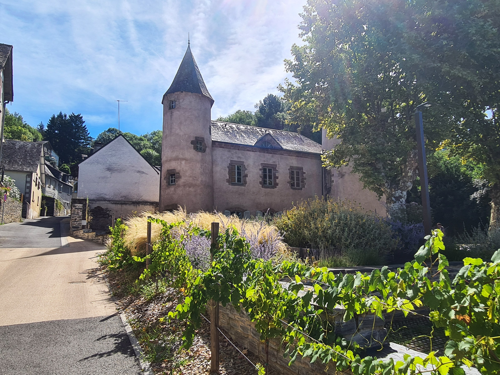
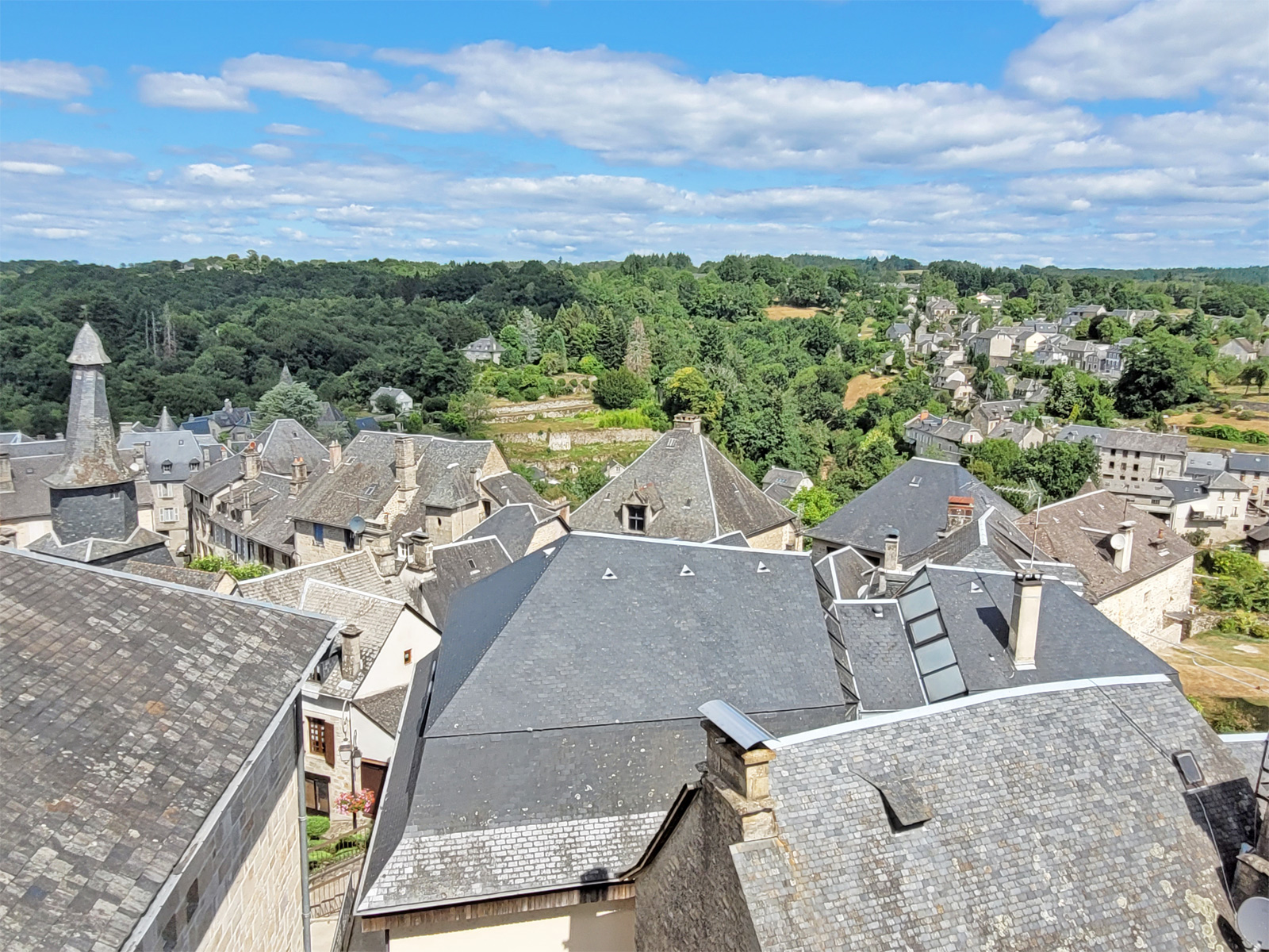
Visit to the Village of Corrèze
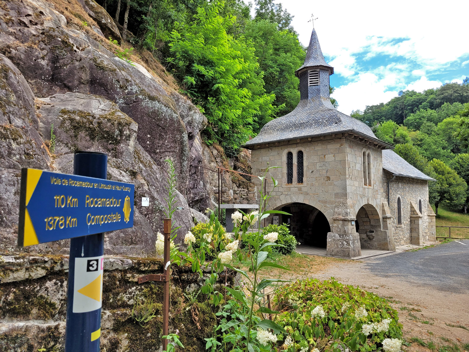
18,0 km
Visit of Gimel-les-Cascades
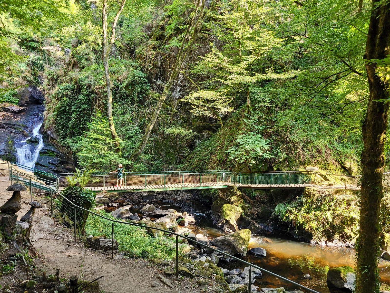
18,7 km
Lily of the valley in Corrèze: traditions that are preserved
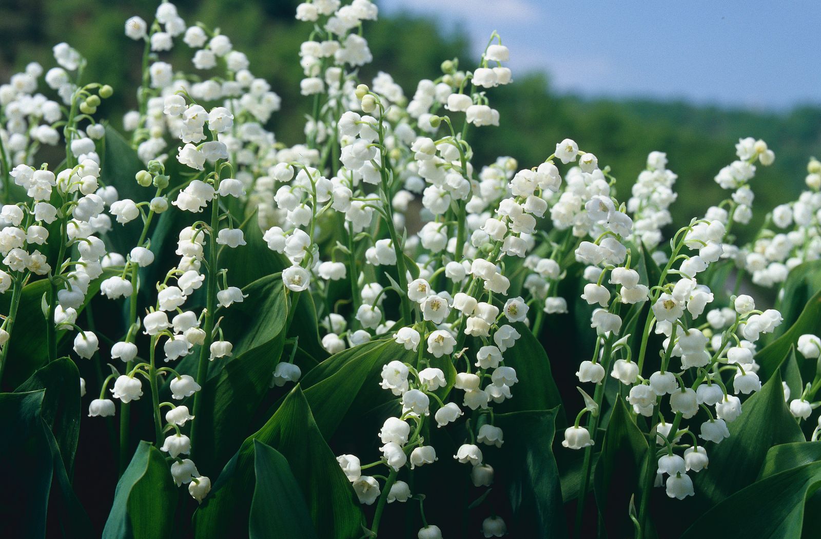
18,7 km
The Via ferrata le Saillant in Allassac
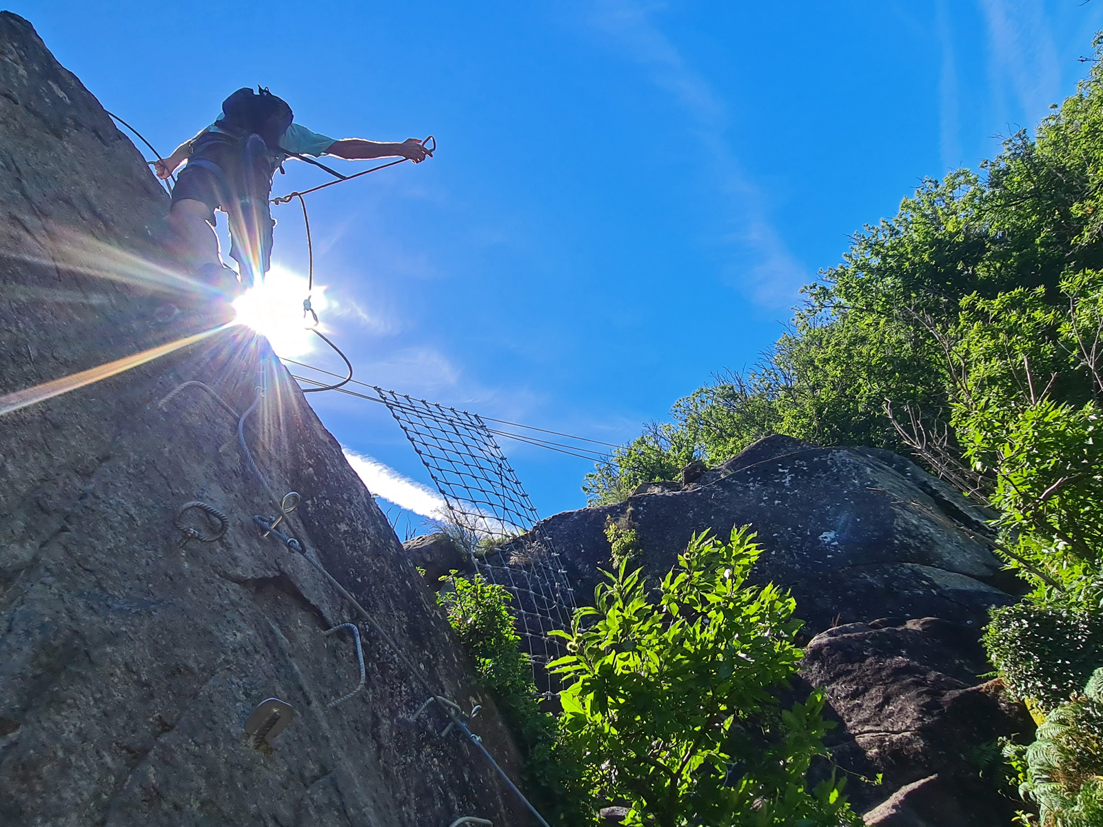
21,0 km
The medieval and natural wonders of Allassac
21,0 km
What to do in winter in Corrèze?
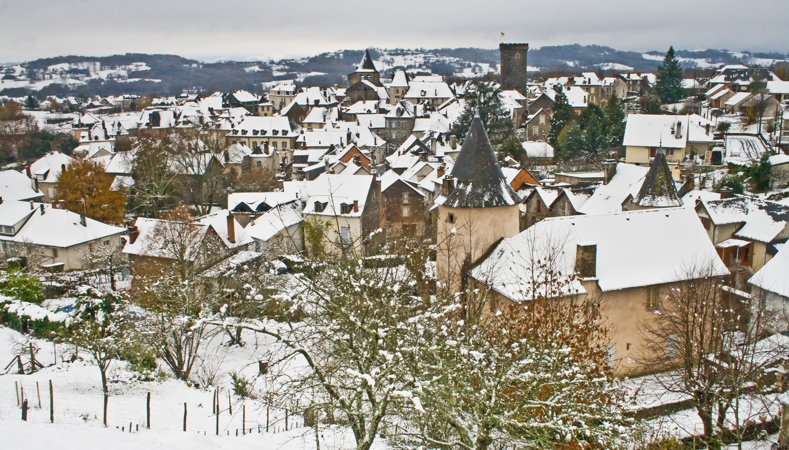
21,0 km
Visit to the village of Treignac
21,1 km