Le Guide de la Corrèze
Discover our other guides

- Home page
- Tourism
- Discover
- Hiking itineraries in Corrèze
- Chaumeil
- GRP® Petit Tour de la Montagne Limousine
- Chaumeil
- Hiking itineraries in Corrèze
- Discover
- Tourism
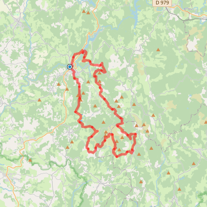
GRP® Petit Tour de la Montagne Limousine
You will like also

Click here to activate the interactive map
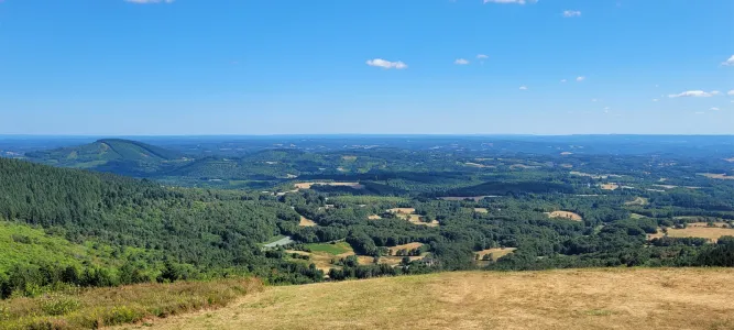
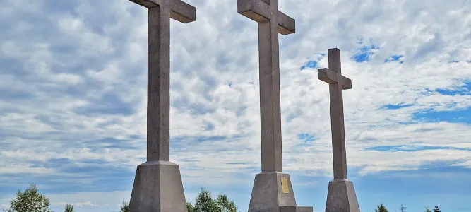
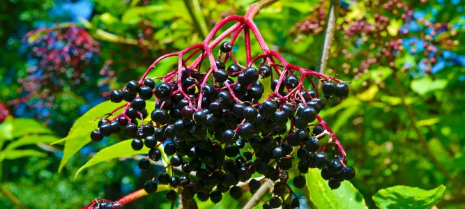
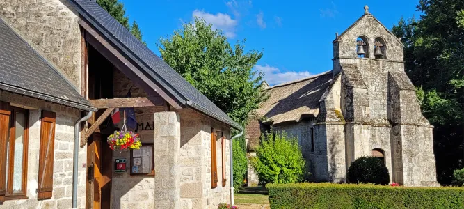
You will also like
Circuit cyclo sportif Bol d'Or des Monédières
Circuit cyclo sportif Bol d'Or des Monédières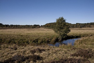
62 m - Chaumeil
Circuit VTT Puy de Chauzeix - La Monédière
Circuit VTT Puy de Chauzeix - La Monédière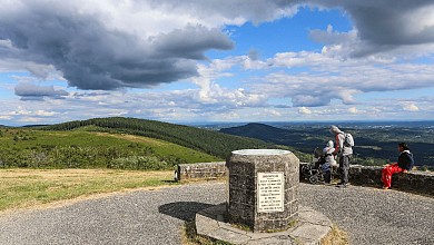
97 m - Chaumeil
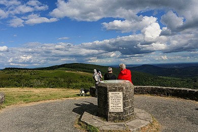
Circuit cyclo sportif Contre la montre - Tour de France 1998
Circuit cyclo sportif Contre la montre - Tour de France 1998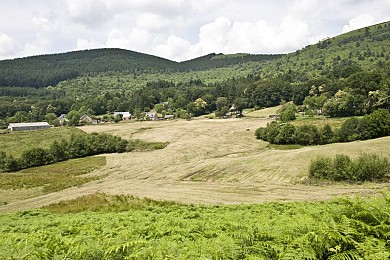
4,8 km - Saint-Augustin
Du château de Beyssac aux gorges du Gamonze
Du château de Beyssac aux gorges du Gamonze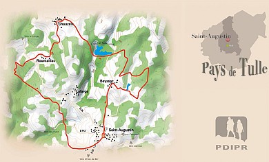
4,9 km - Saint-Augustin
We tested for you
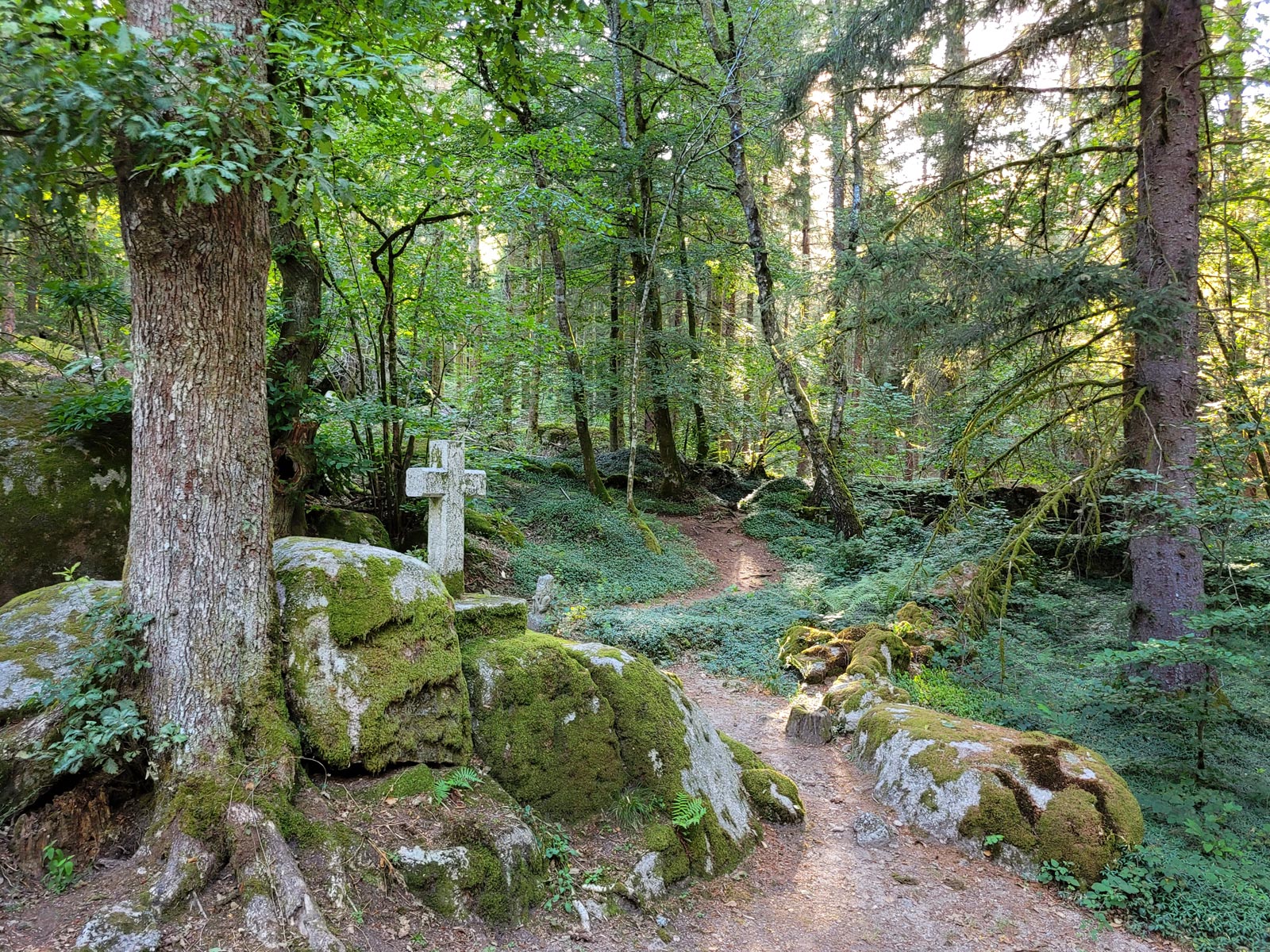
The mysterious abandoned village of Clédat
5,2 km
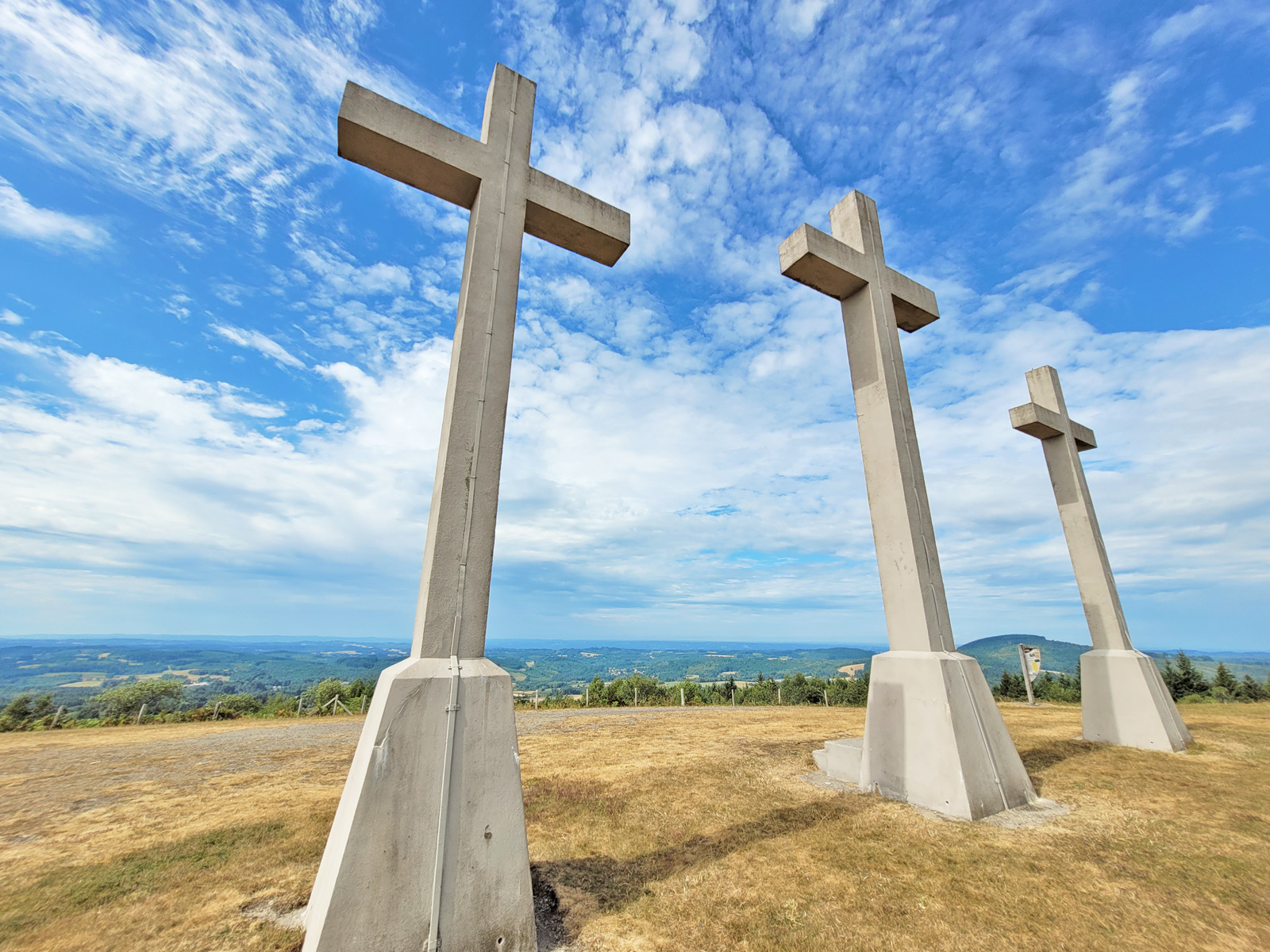
Visit Sarran and the President Jacques Chirac Museum!
6,2 km
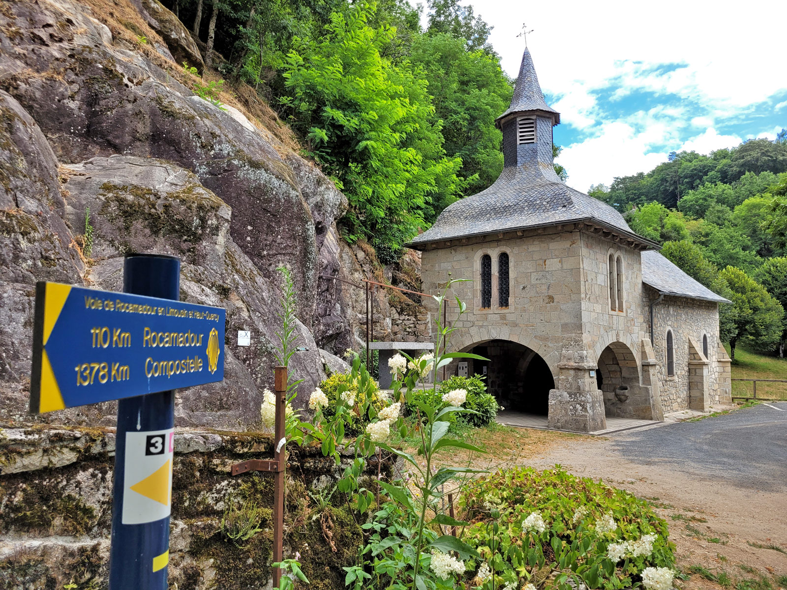
Visit to the Village of Corrèze
10,1 km
Visit to the village of Treignac
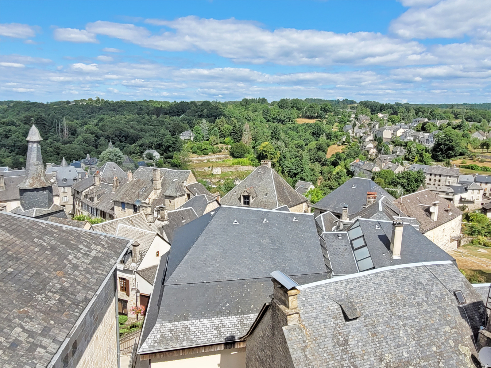
12,5 km
Visit of Gimel-les-Cascades
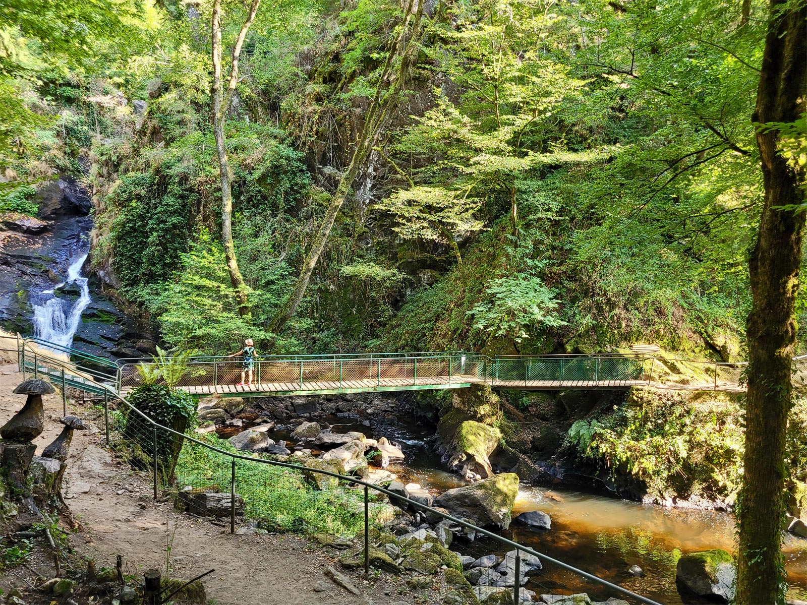
17,1 km
The Château de Ventadour, at the heart of the history of the Viscounts of Corrèze
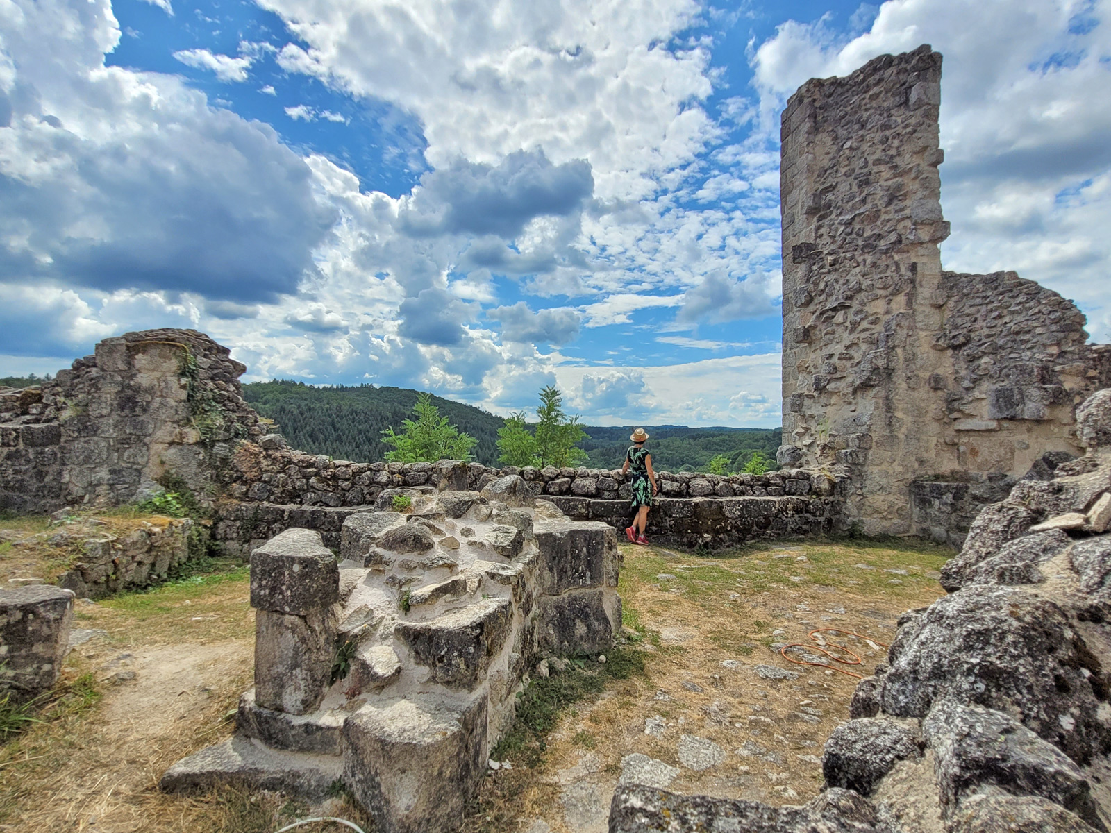
19,1 km
Visit to the Gallo-Roman site of Cars
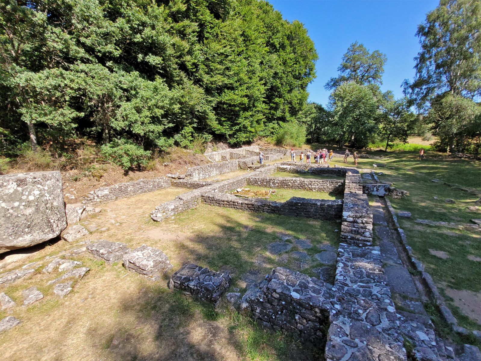
23,0 km
Mont Bessou and its tower: the highest peak in Corrèze!
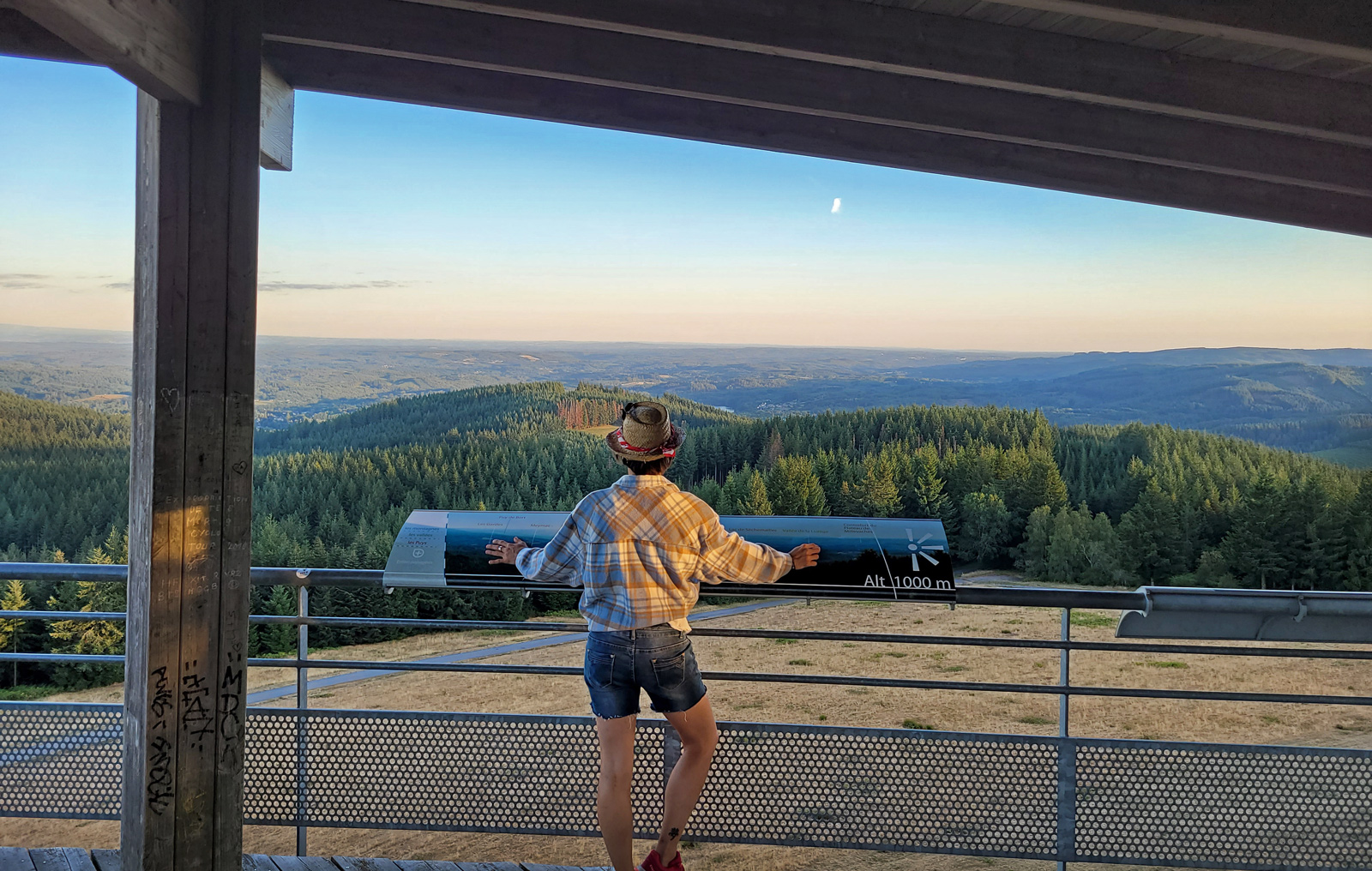
23,0 km