Le Guide de la Corrèze
Discover our other guides

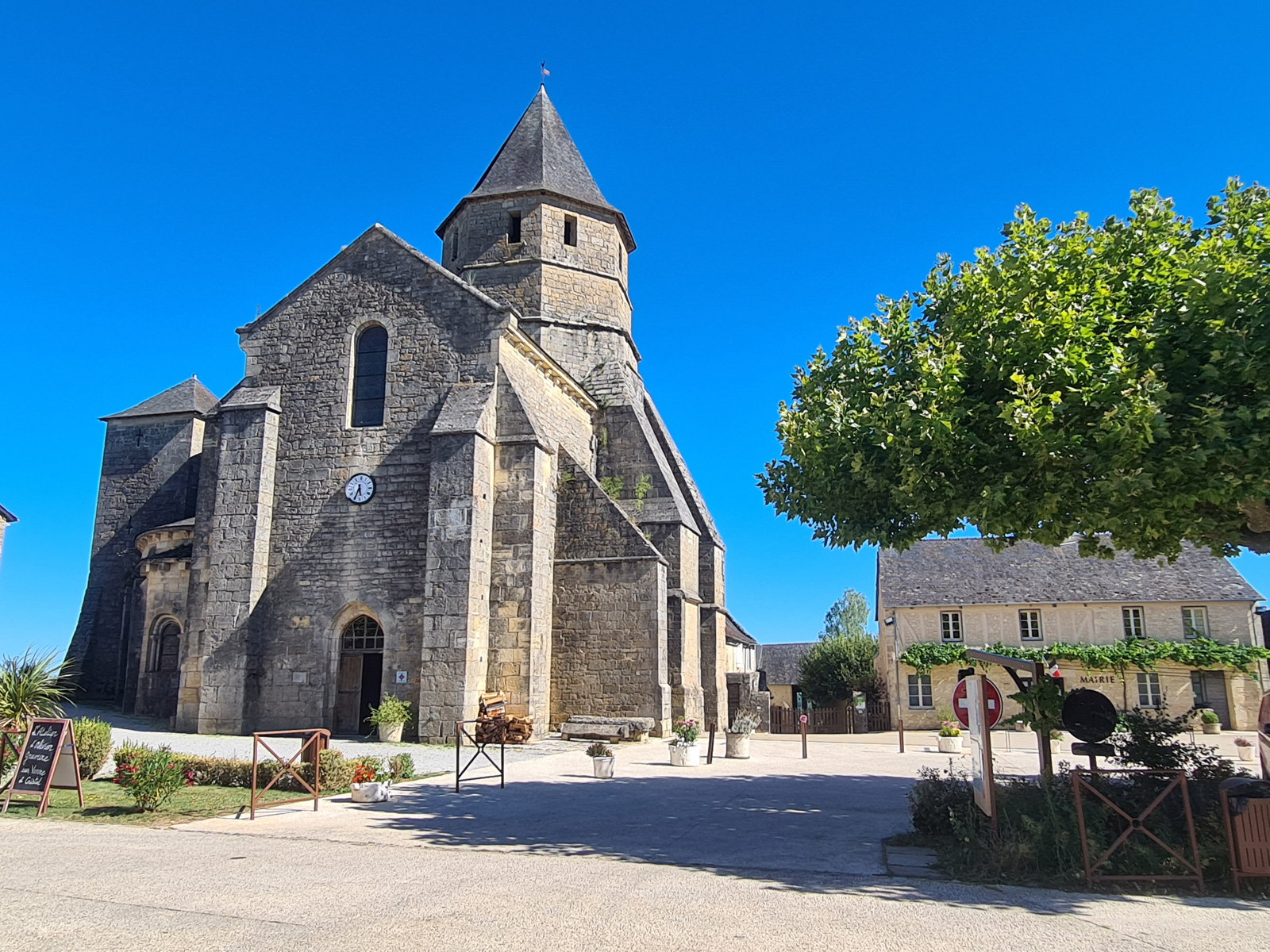
You will like also

You will also like
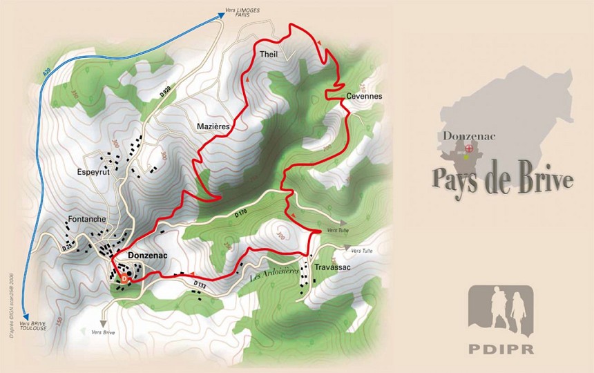
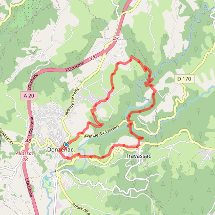
Circuit cyclo sportif le pays de l'Ardoise
Circuit cyclo sportif le pays de l'Ardoise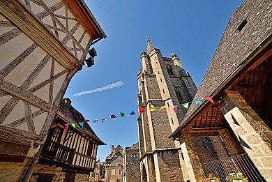
147 m - Donzenac


We tested for you
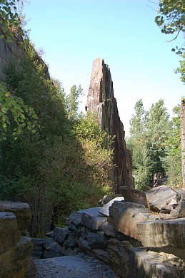
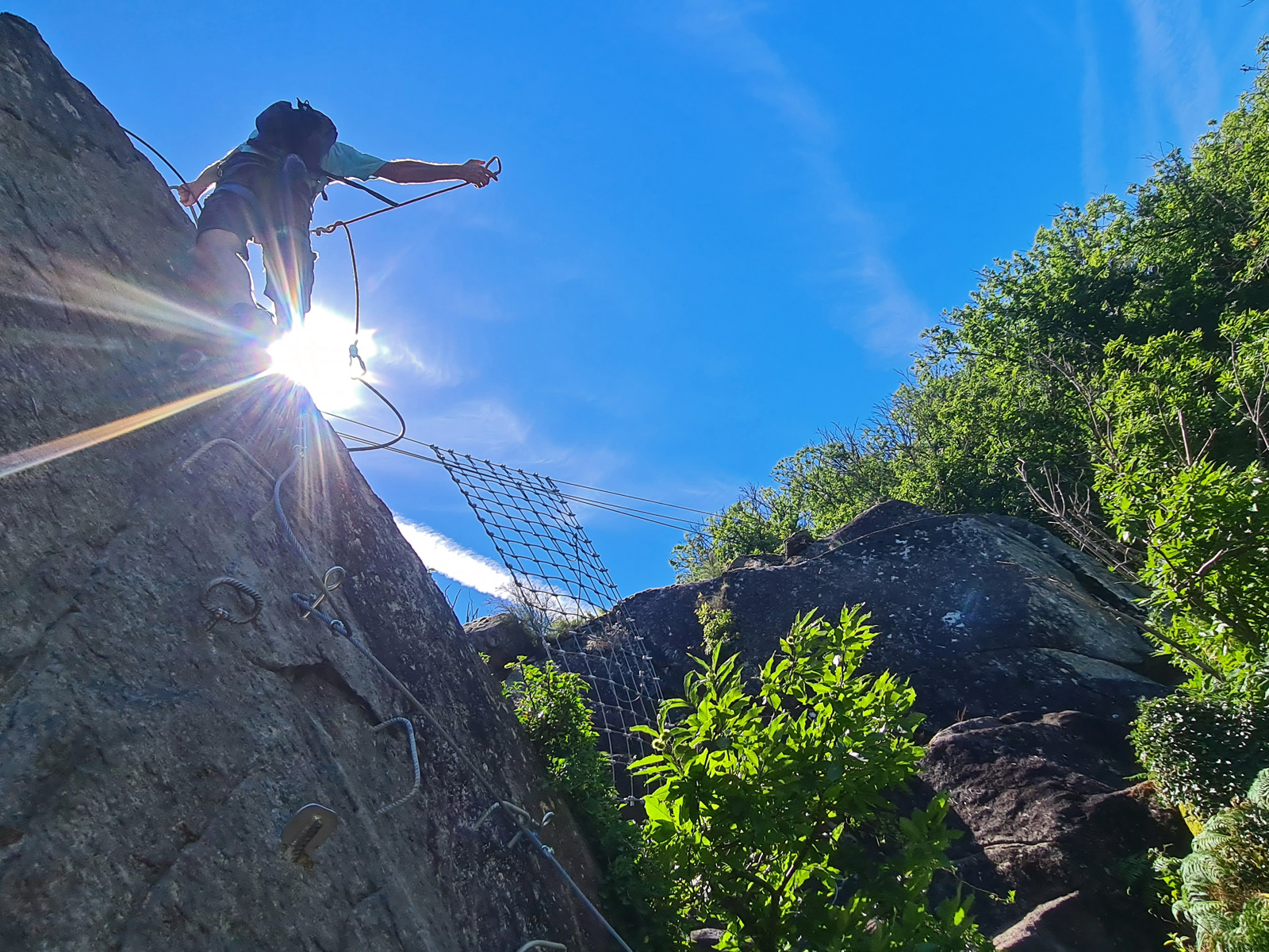
The Via ferrata le Saillant in Allassac
5,3 km
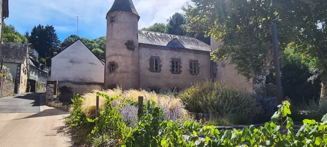
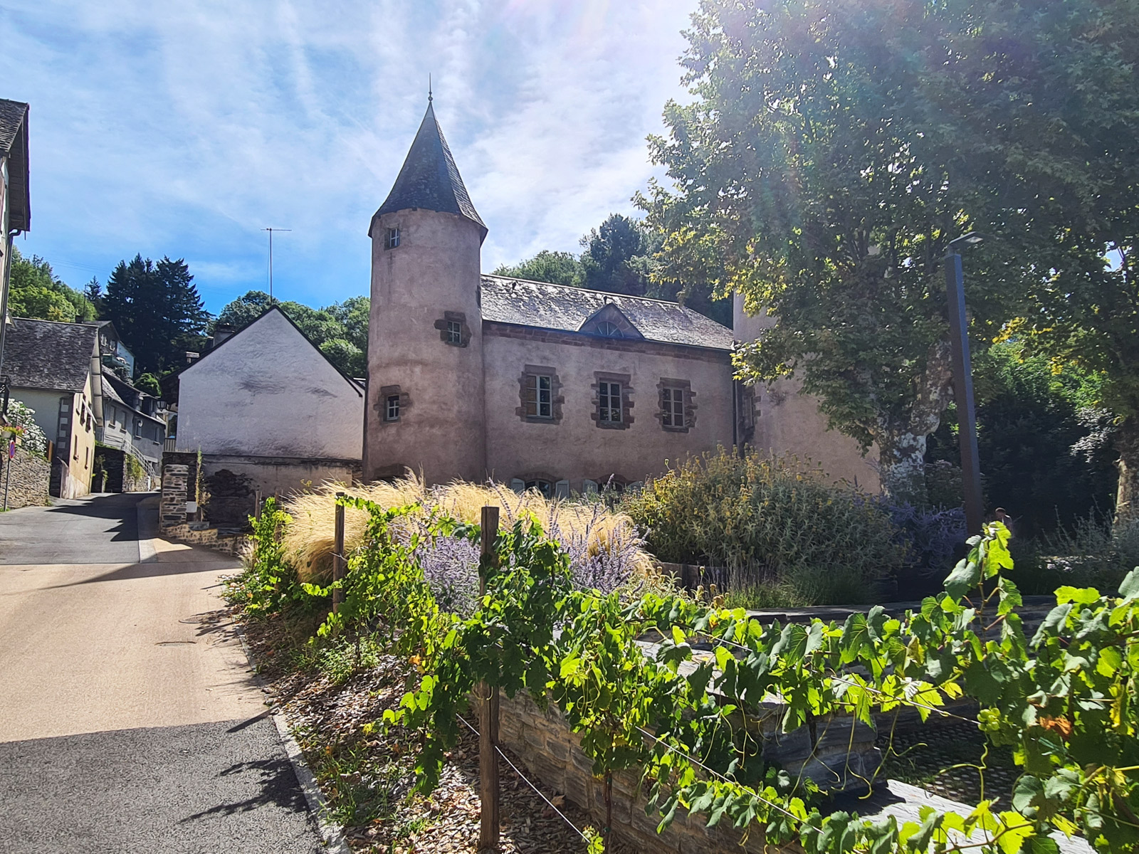
The medieval and natural wonders of Allassac
5,3 km
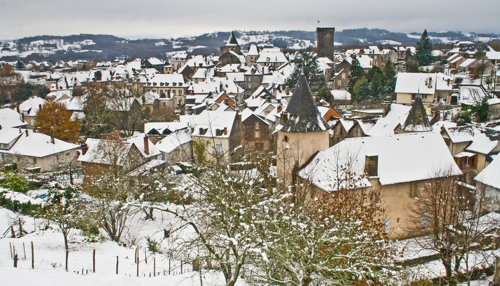
What to do in winter in Corrèze?
5,3 km
Brive Christmas Market, a magical experience to be had in Corrèze

9,5 km
Top 10 things to do in Brive-la-Gaillarde and its surroundings
9,5 km
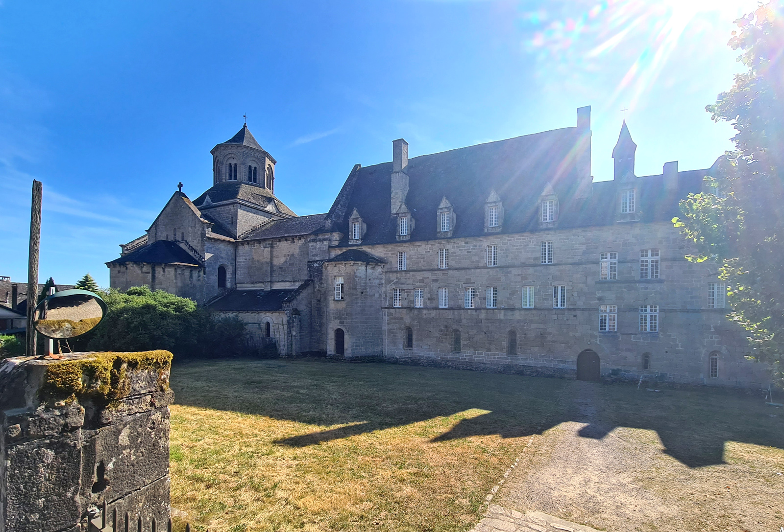
Visit Aubazine and its superb Canal des Moines
13,5 km
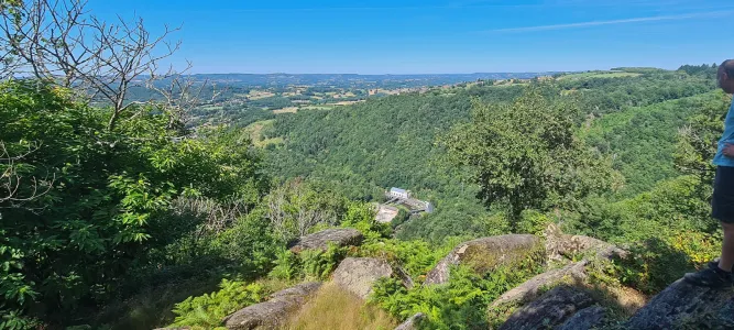
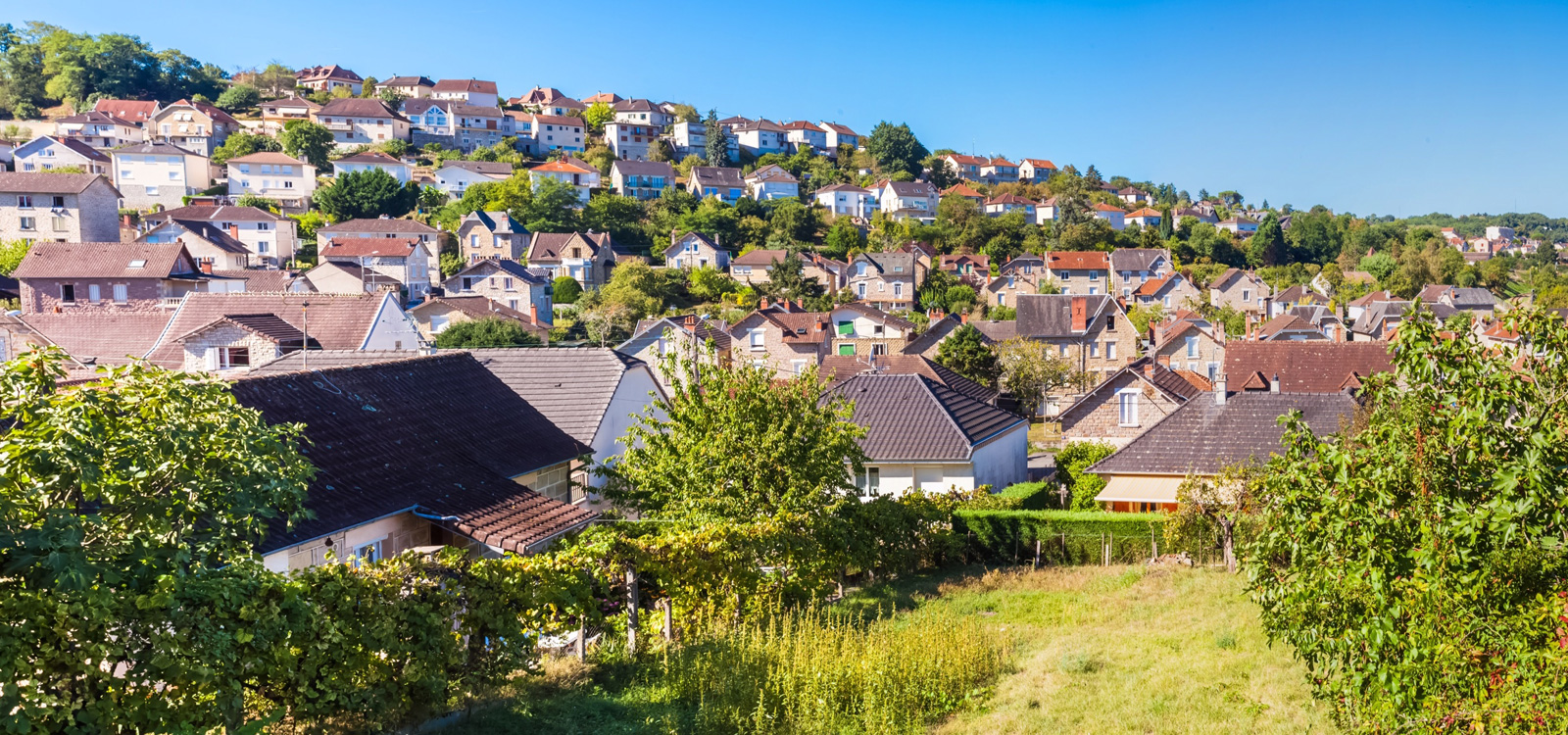
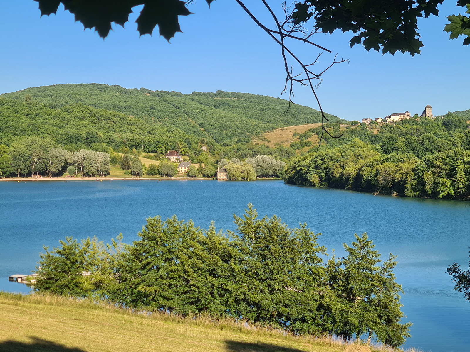
The Lac du Causse, THE place to know near Brive
14,1 km
Visit the Village of Saint-Robert, one of the most beautiful villages in France!
18,2 km