Le Guide de la Corrèze
Discover our other guides

- Home page
- Tourism
- Discover
- Hiking itineraries in Corrèze
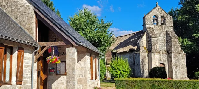
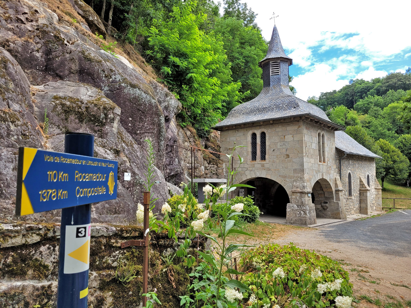
- Soudaine-Lavinadière
- Le Bois d'Anjou
- Soudaine-Lavinadière
- Hiking itineraries in Corrèze
- Discover
- Tourism
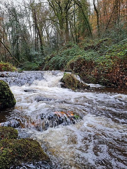
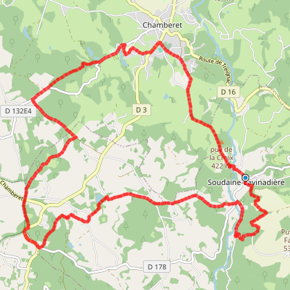
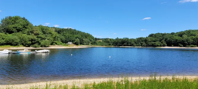
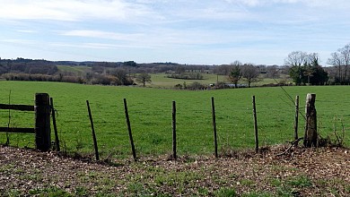
Le Bois d'Anjou
You will like also

Click here to activate the interactive map
You will also like
Parcours n°4, Espace Cyclosport La Petite Montagne Limousine
Parcours n°4, Espace Cyclosport La Petite Montagne Limousine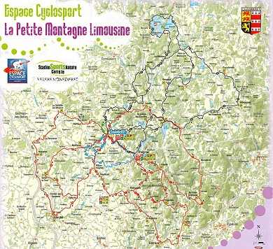
3,2 km - Chamberet
Parcours n°2, Espace Cyclosport La Petite Montagne Limousine
Parcours n°2, Espace Cyclosport La Petite Montagne Limousine
3,2 km - Chamberet
Parcours n°6, Espace Cyclosport La Petite Montagne Limousine
Parcours n°6, Espace Cyclosport La Petite Montagne Limousine
3,2 km - Chamberet
Parcours n°8, Espace Cyclosport La Petite Montagne Limousine
Parcours n°8, Espace Cyclosport La Petite Montagne Limousine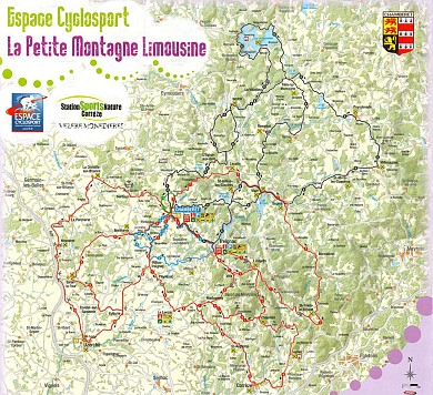
3,2 km - Chamberet
We tested for you
Visit to the village of Treignac
4,7 km
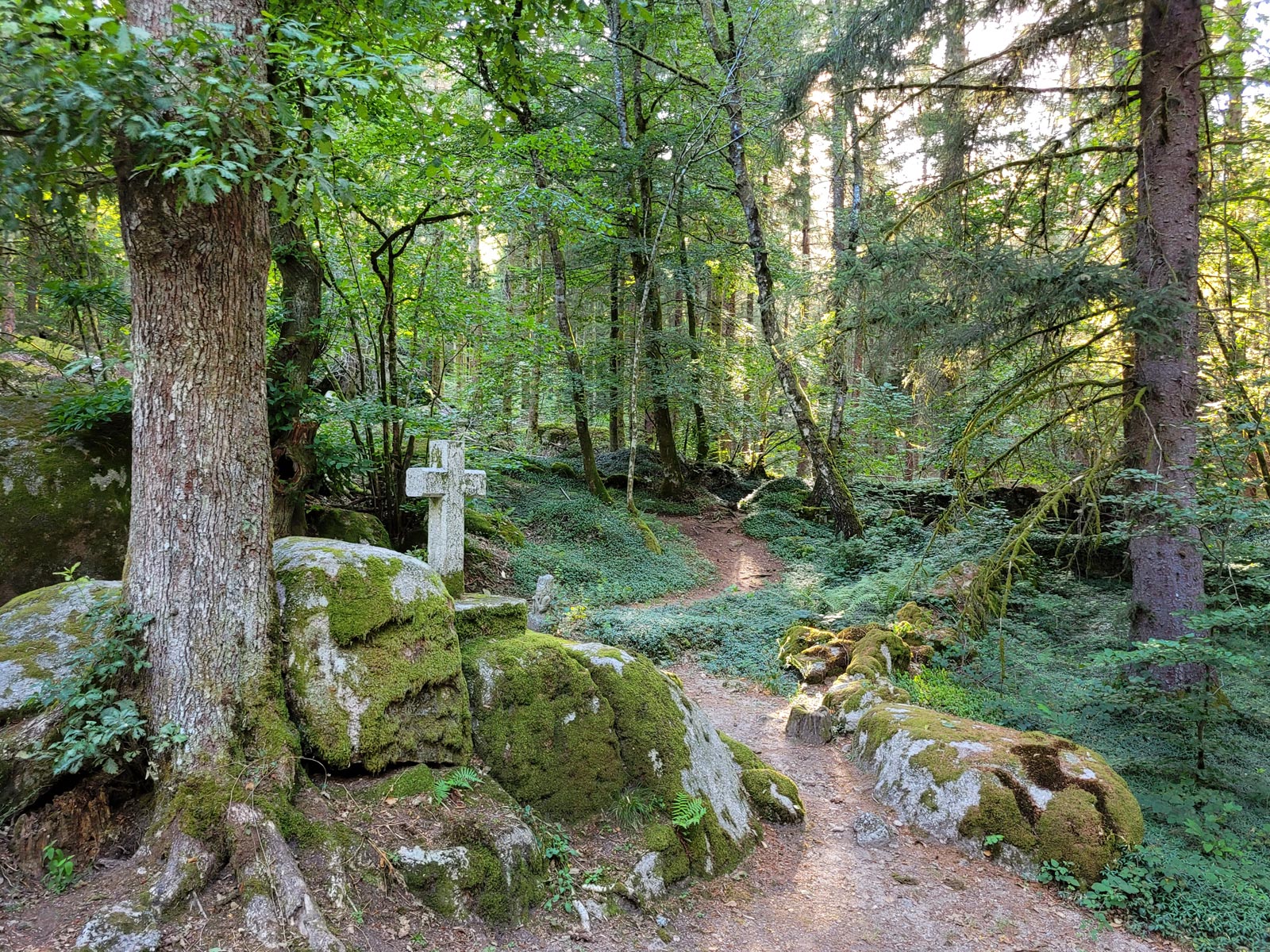
The mysterious abandoned village of Clédat
16,6 km
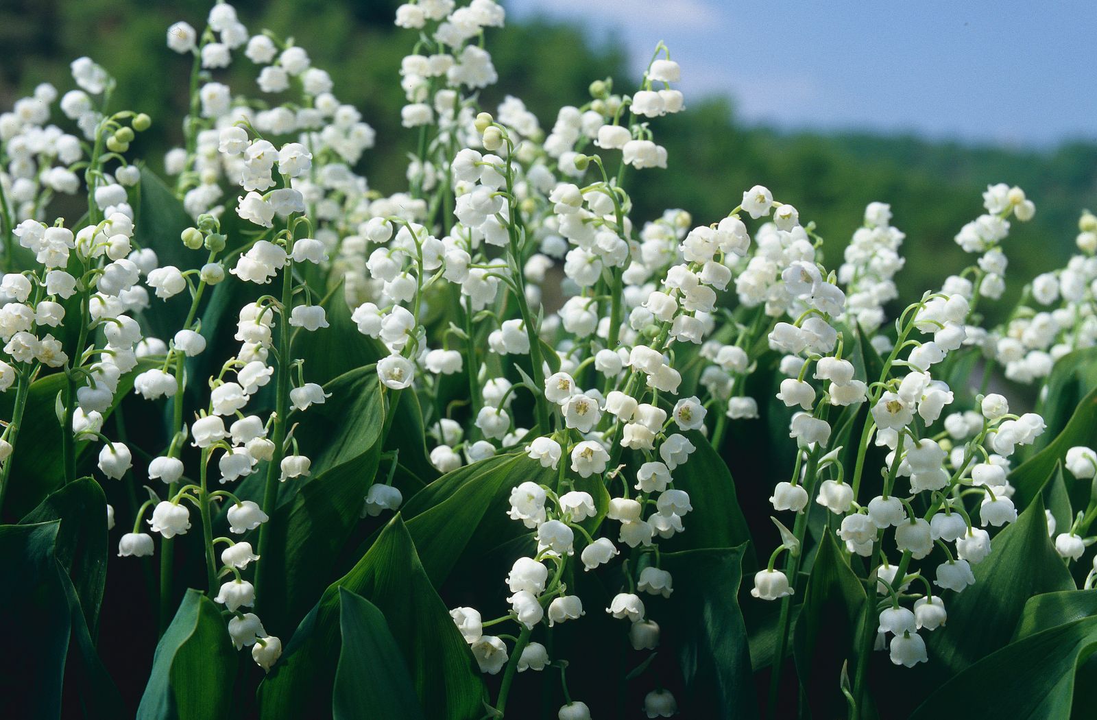
Lily of the valley in Corrèze: traditions that are preserved
17,3 km
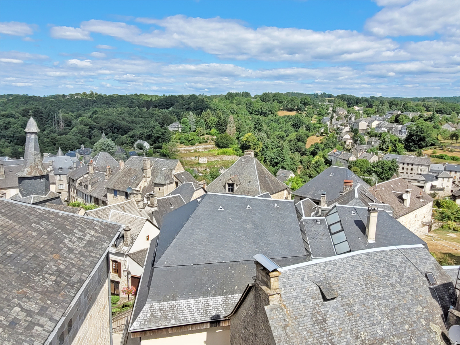
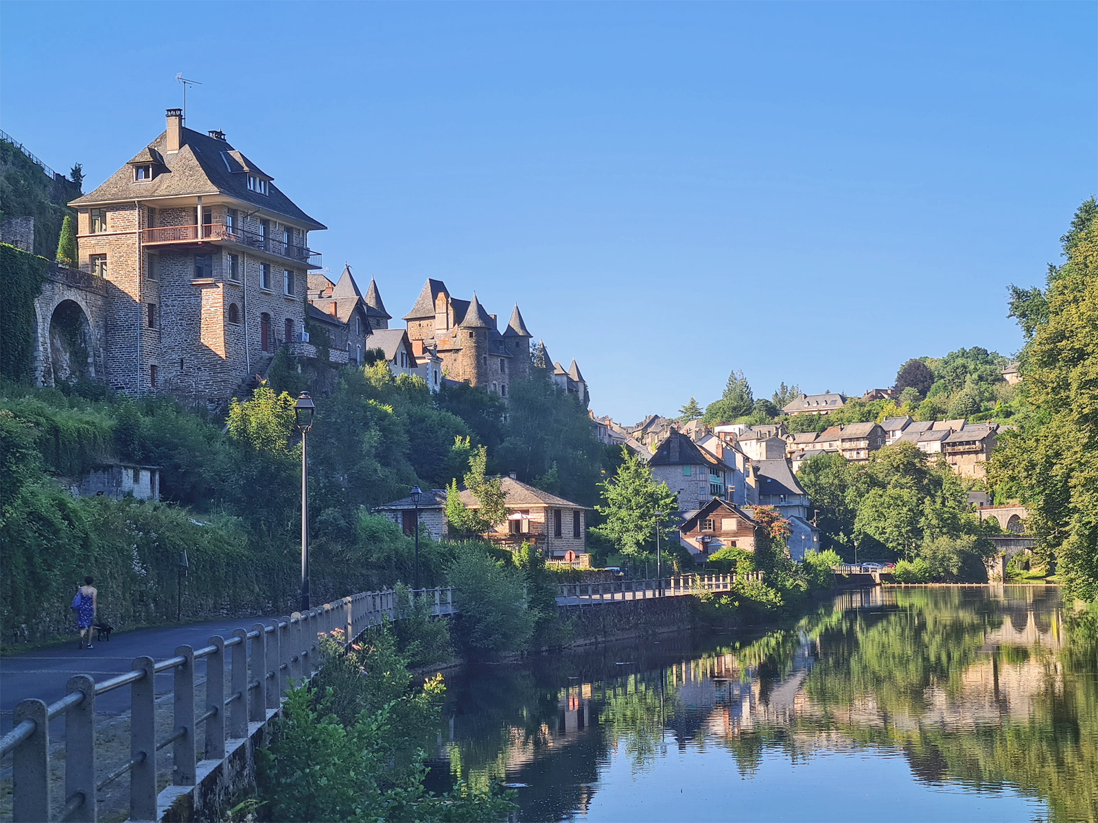
Visit Uzerche, a historic town on the banks of the Vézère!
20,2 km
Visit Sarran and the President Jacques Chirac Museum!
21,9 km
Visit to the Village of Corrèze
23,6 km
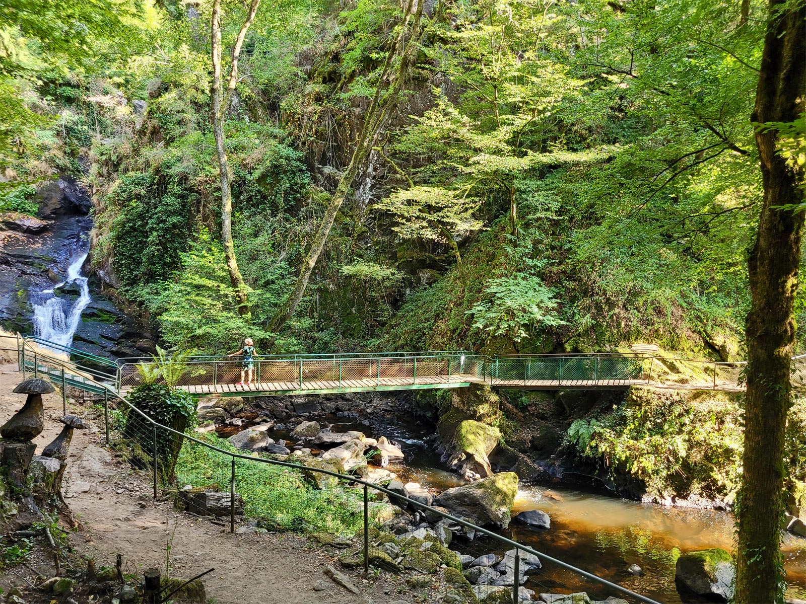
Visit of Gimel-les-Cascades
29,2 km
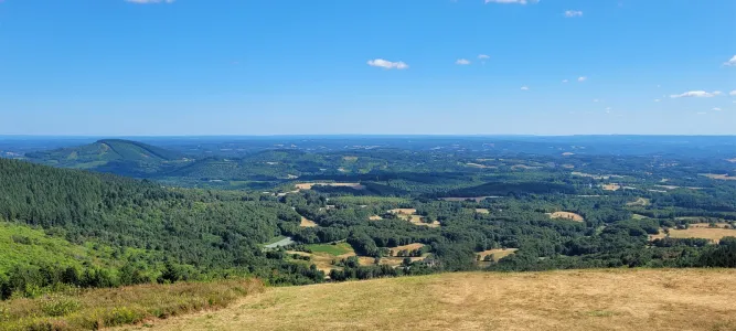
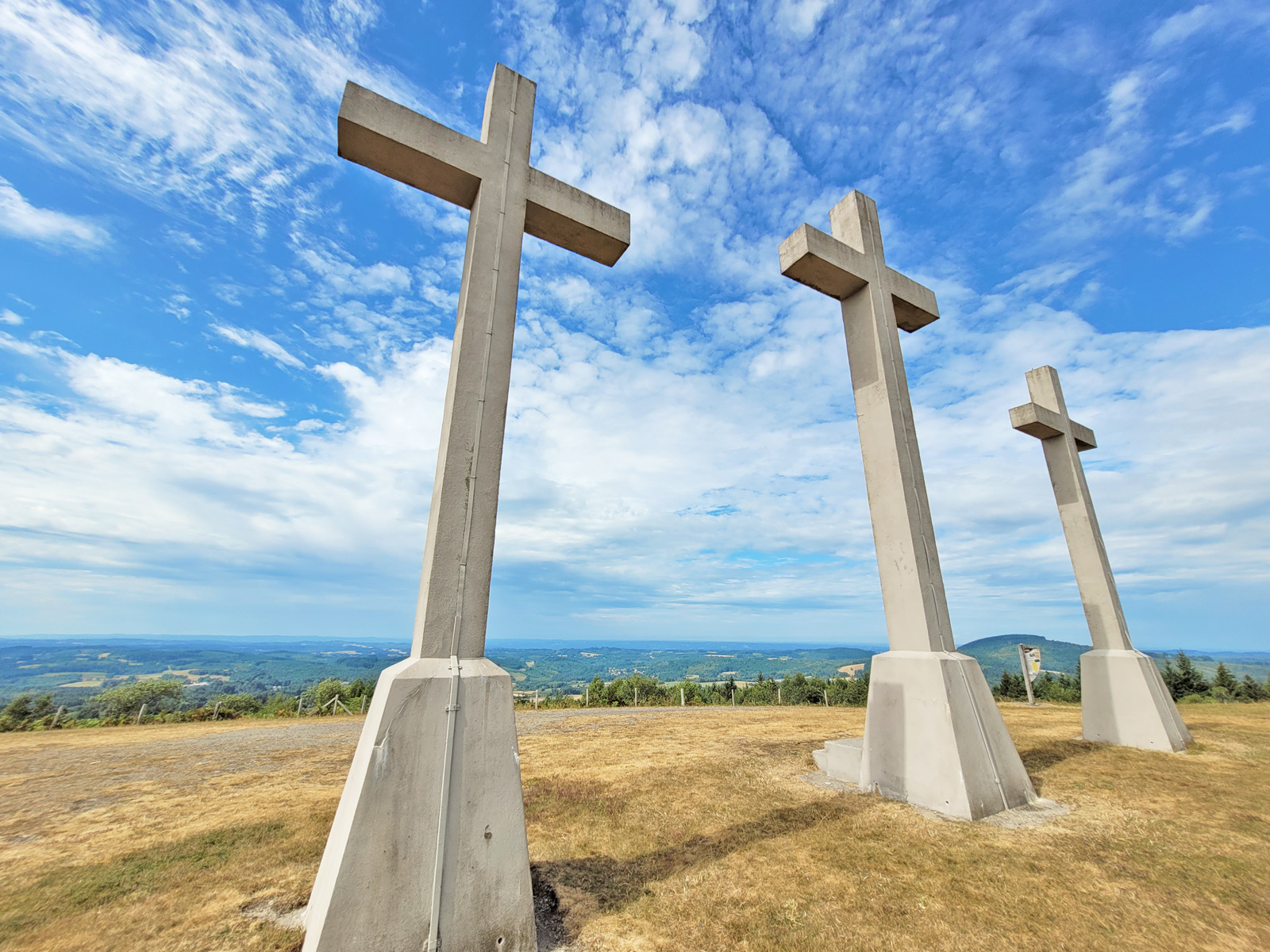
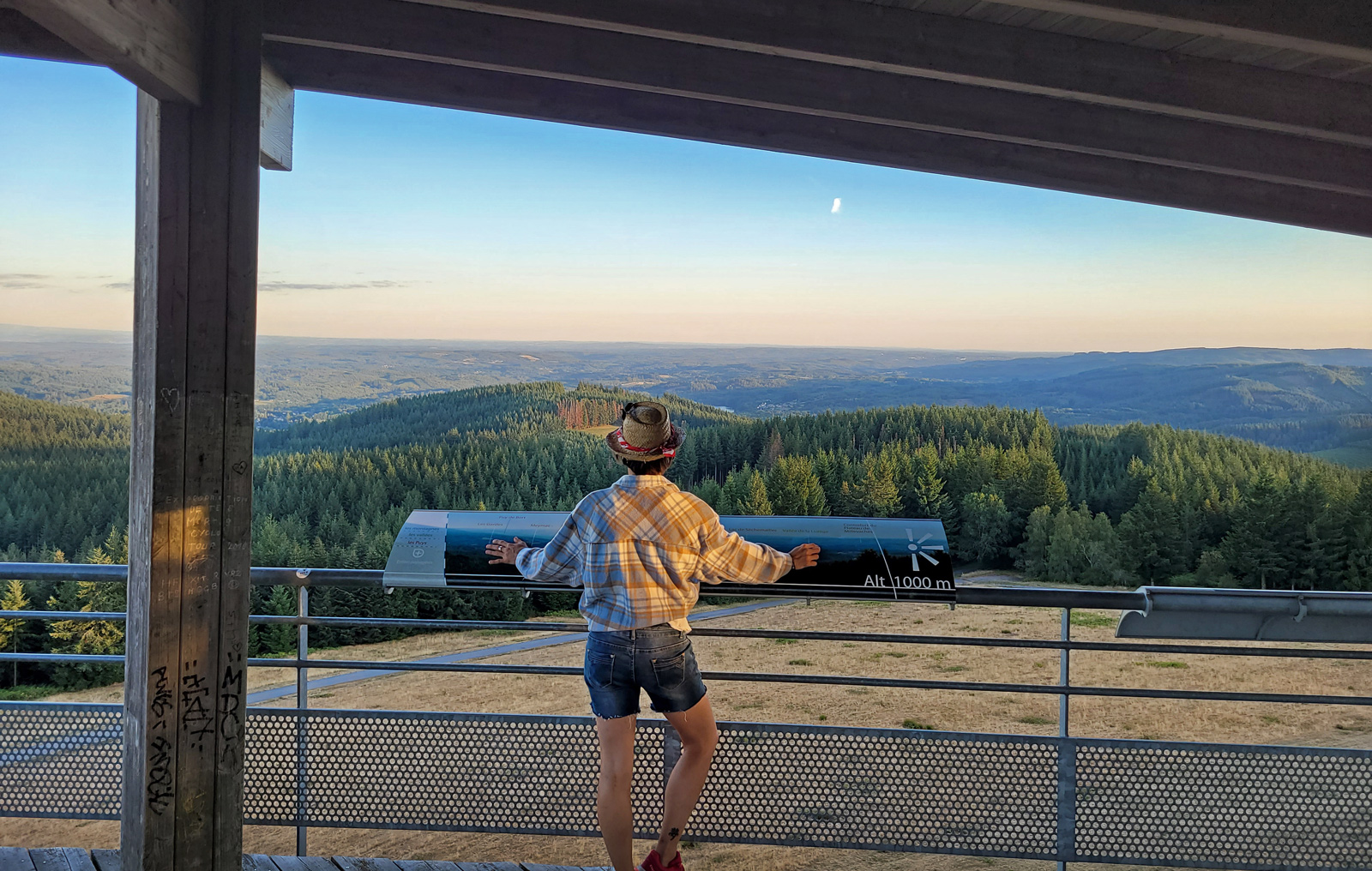
Mont Bessou and its tower: the highest peak in Corrèze!
31,1 km