Le Guide de la Corrèze
Discover our other guides

- Home page
- Tourism
- Discover
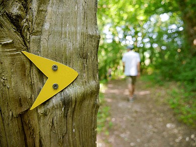
- Hiking itineraries in Corrèze
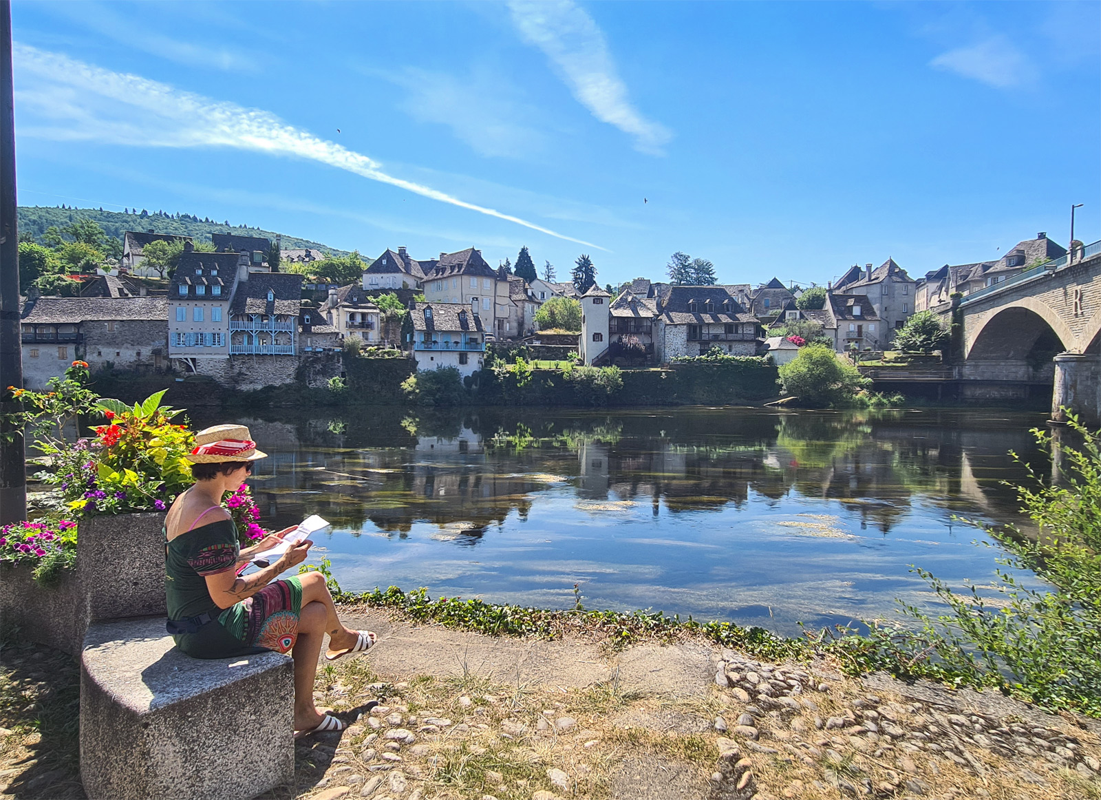
- Tulle
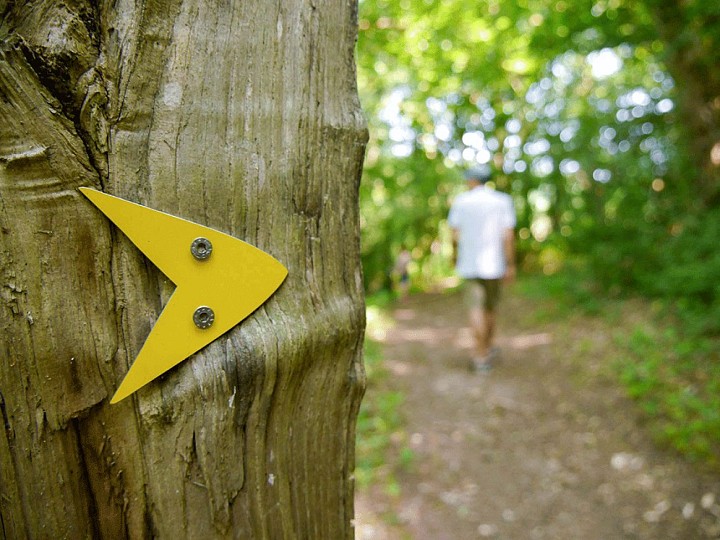
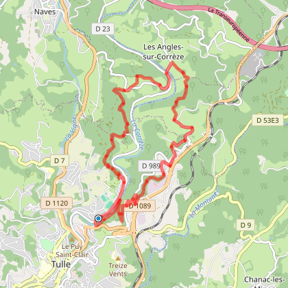
- Parcours Tulle Nature : N° 4 Fressinges
- Tulle
- Hiking itineraries in Corrèze
- Discover
- Tourism
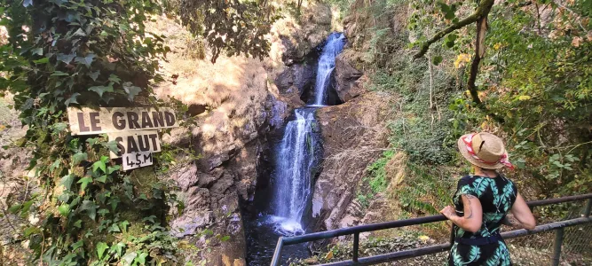
Parcours Tulle Nature : N° 4 Fressinges
You will like also

Click here to activate the interactive map

You will also like


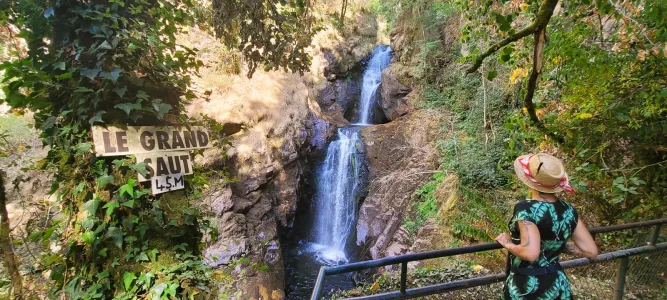
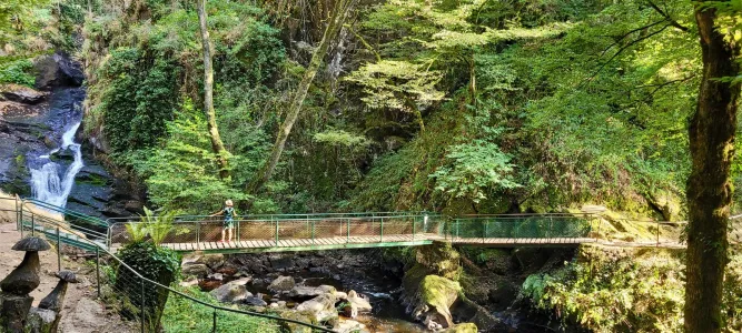
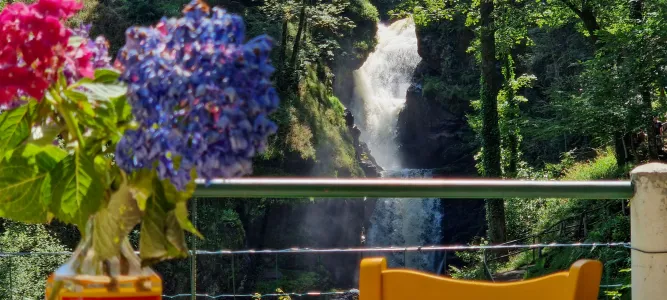
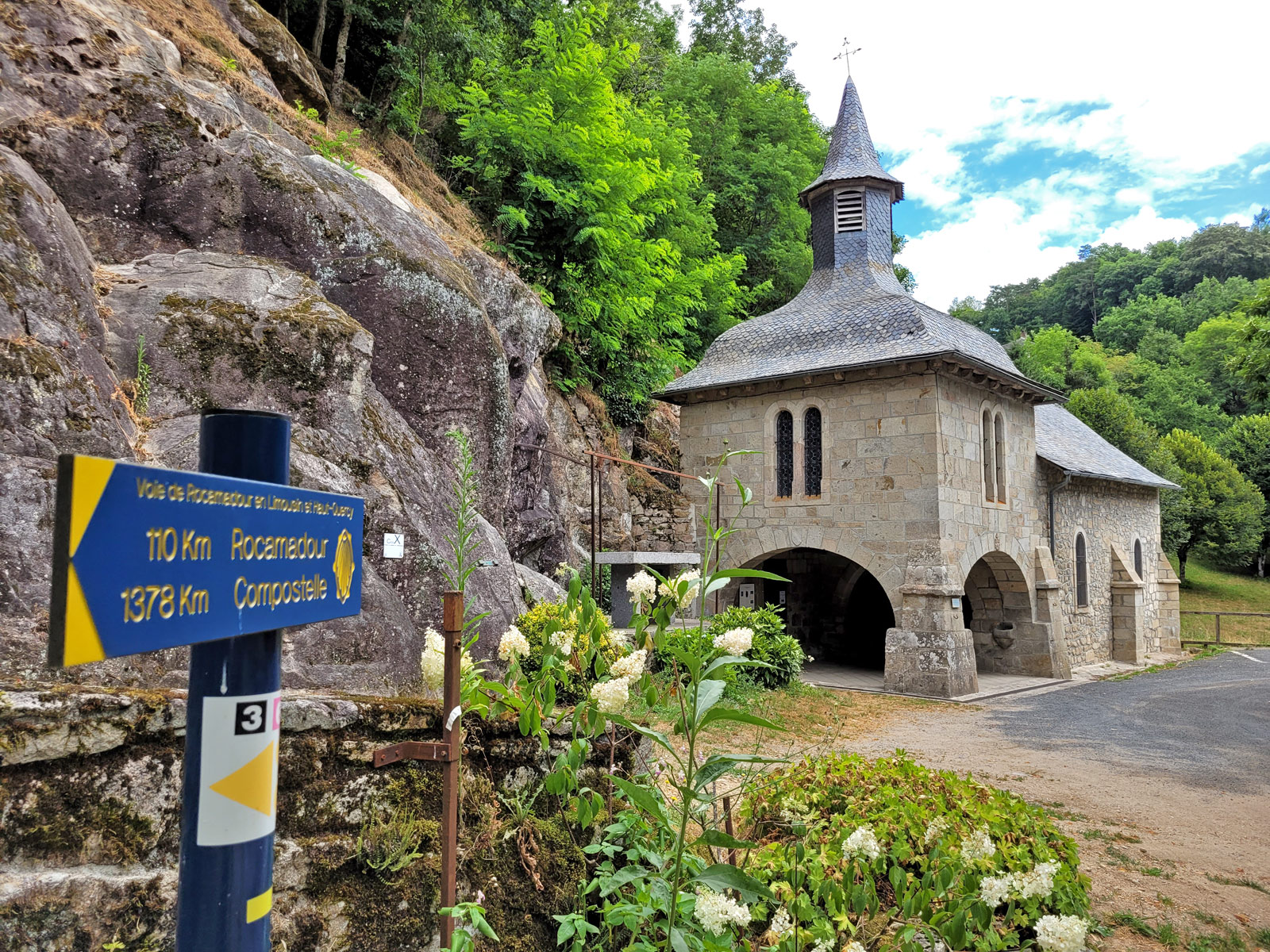
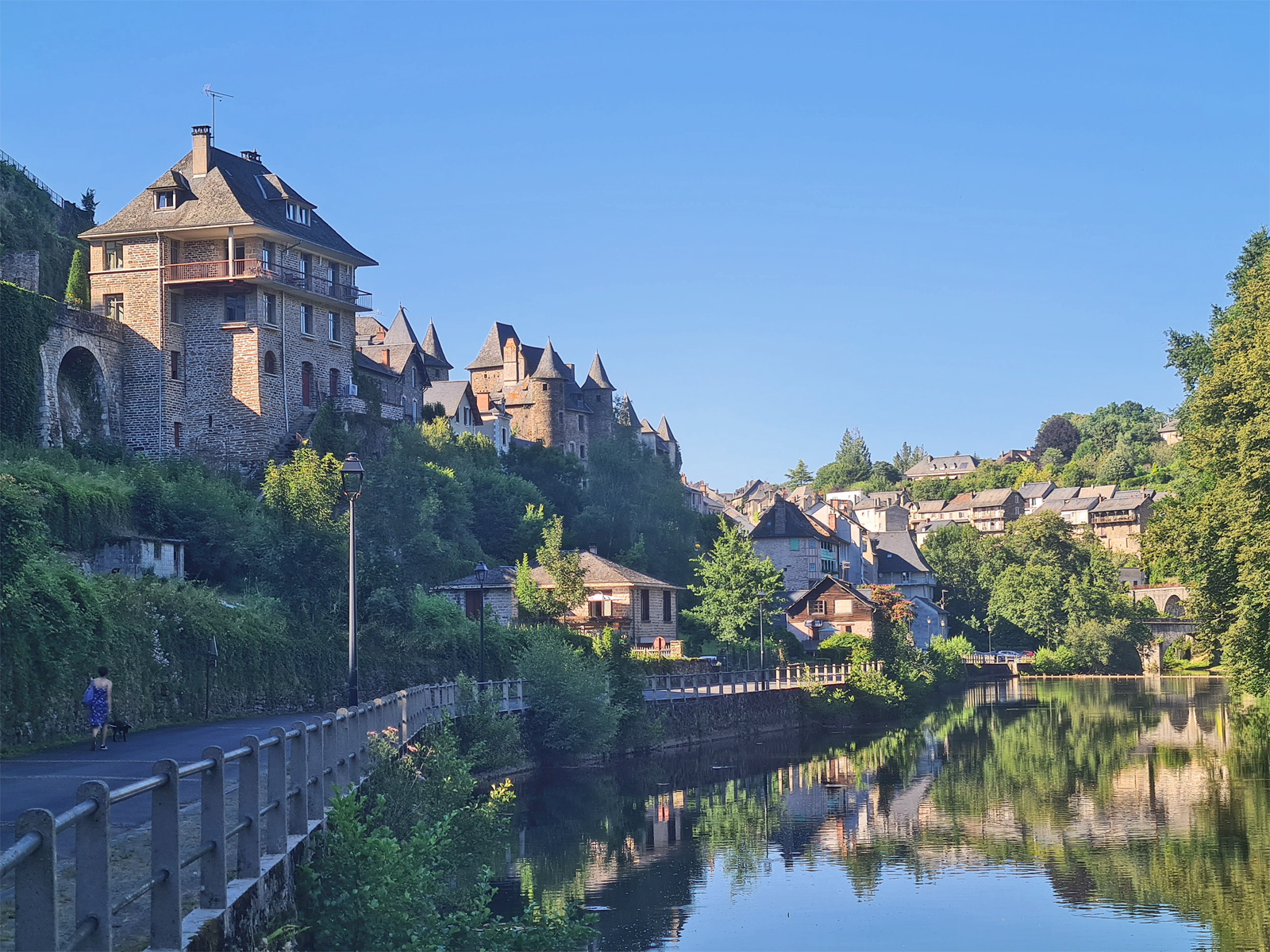
Parcours Tulle Nature : N°6 Tulle-Gimel les Cascades - Tulle
Parcours Tulle Nature : N°6 Tulle-Gimel les Cascades - Tulle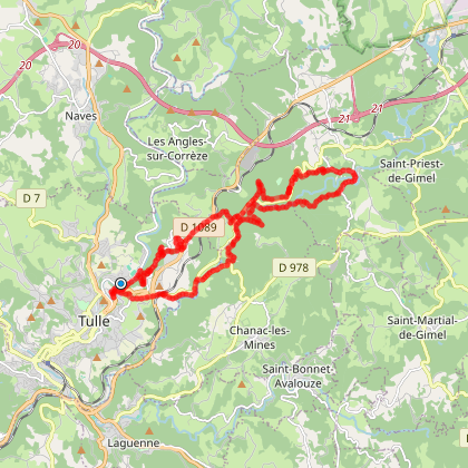
113 m - Tulle
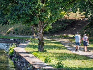
We tested for you
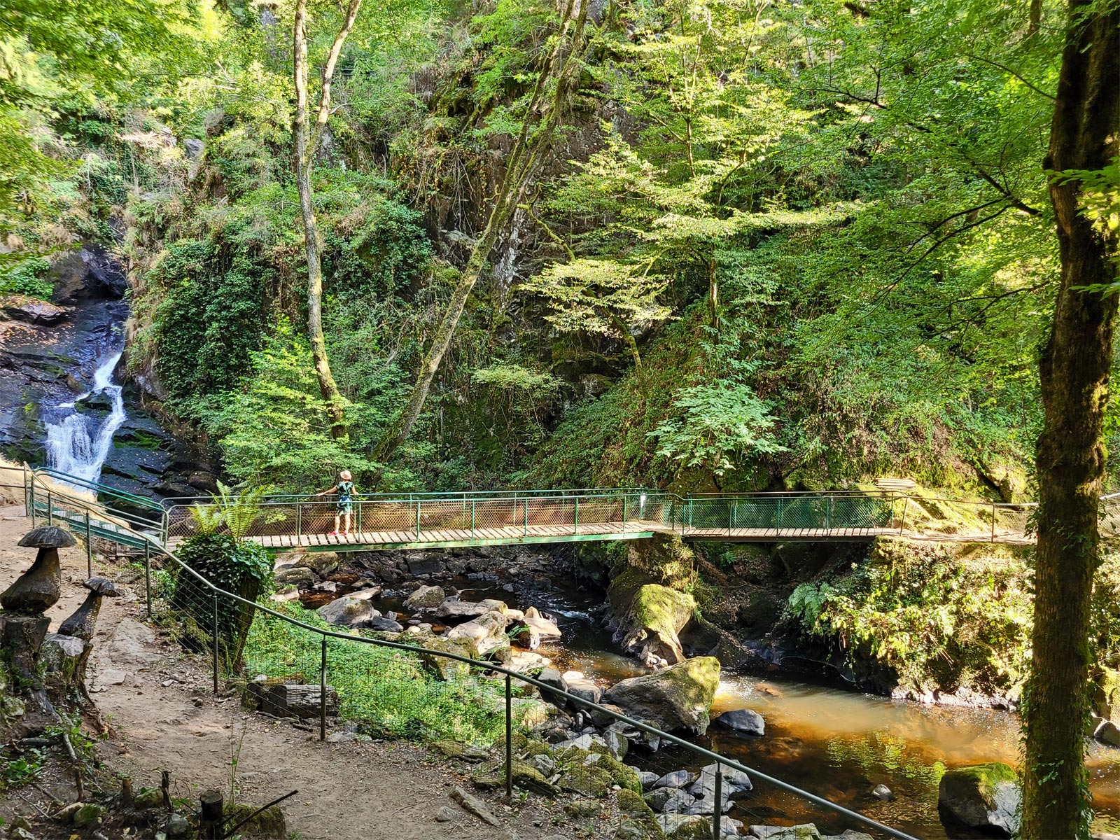
Visit of Gimel-les-Cascades
5,8 km
Visit to the Village of Corrèze
12,2 km
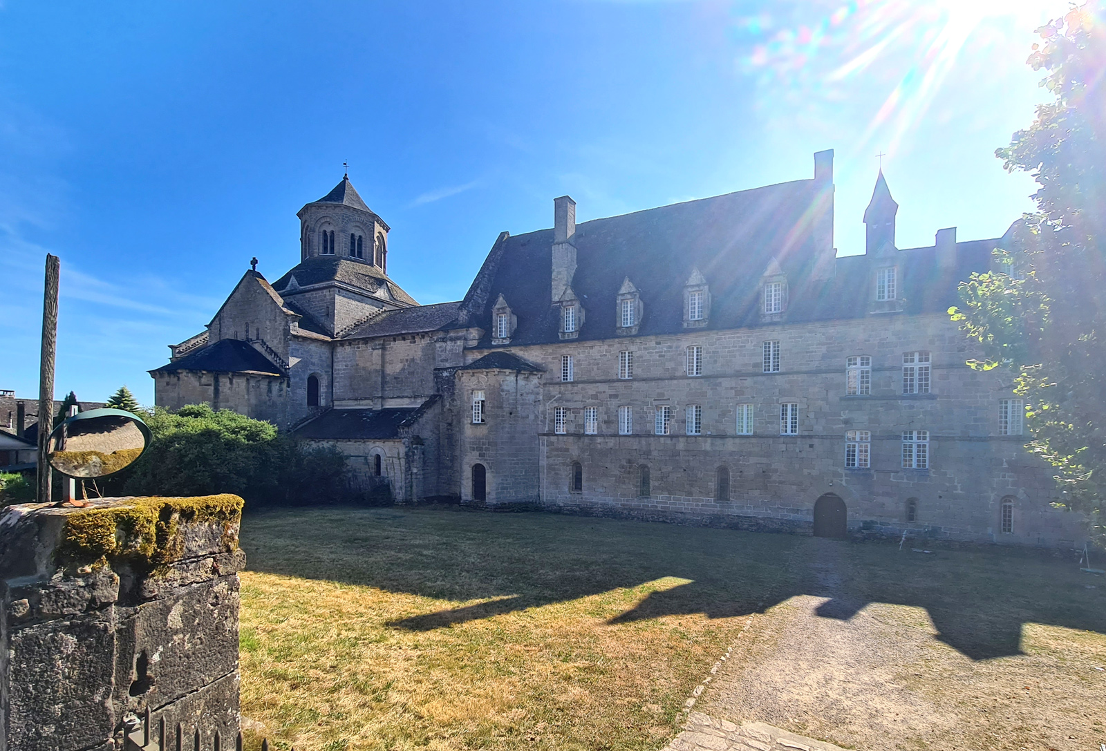
Visit Aubazine and its superb Canal des Moines
12,5 km
Visit Sarran and the President Jacques Chirac Museum!
19,2 km
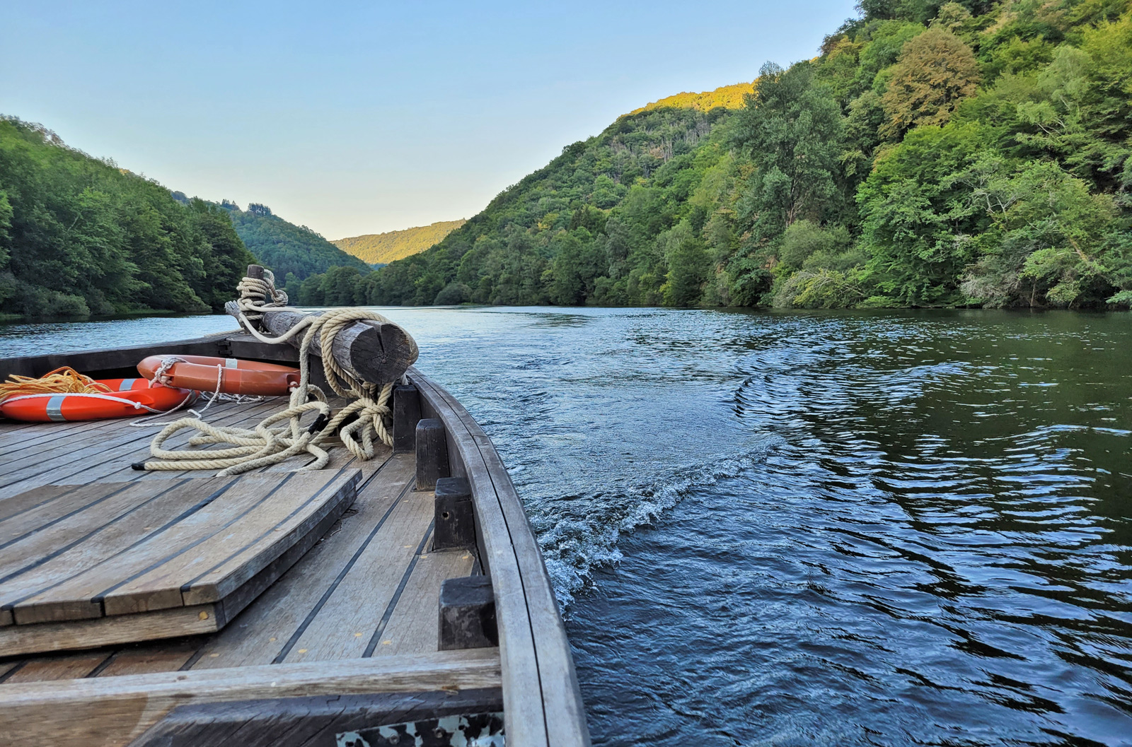
Barge ride in Argentat
21,9 km
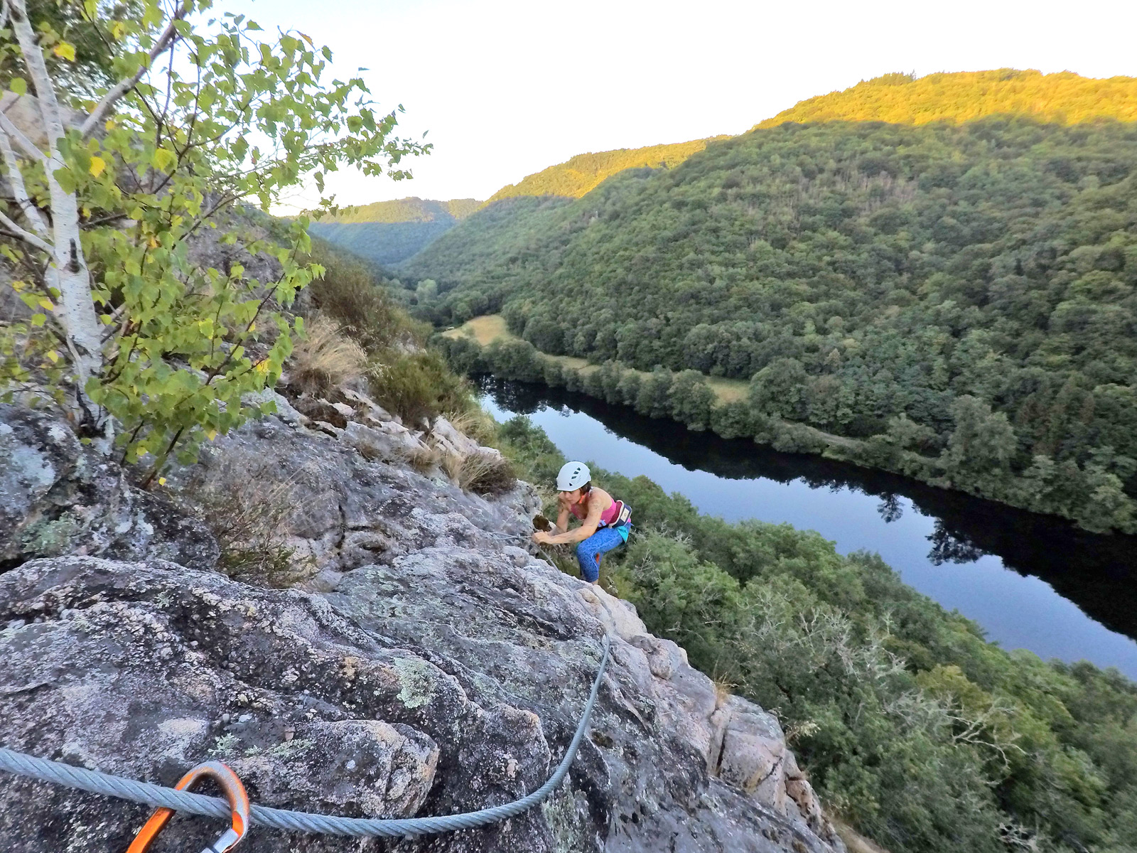
The Via Ferrata of Argentat
21,9 km
Visit Argentat-sur-Dordogne, the stronghold of gabarriers!
21,9 km
Visit Uzerche, a historic town on the banks of the Vézère!
23,6 km